Tag: Guide

  • Lipari, pearl of the Aeolian Islands

    Lipari, pearl of the Aeolian Islands

    Destinations › Europe › Italy

    Lipari, pearl of the Aeolian Islands

    Beaches, volcanoes and island-hopping off the coast of Sicily.

    TheLionVoyager

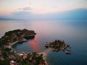
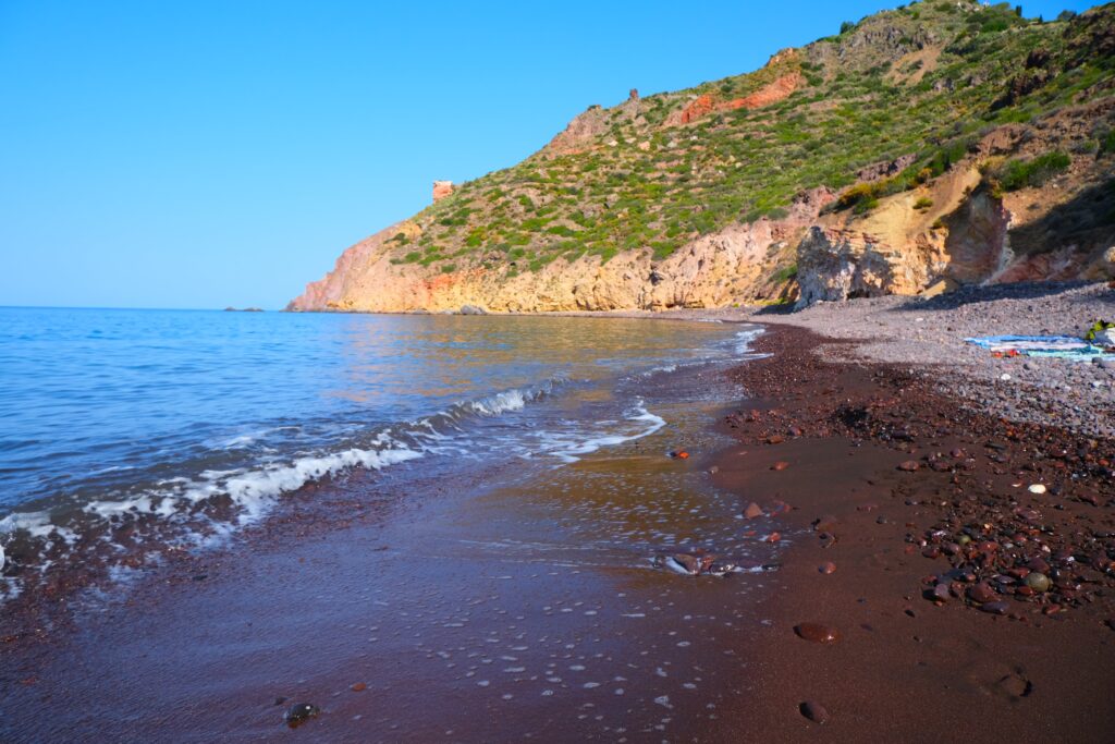
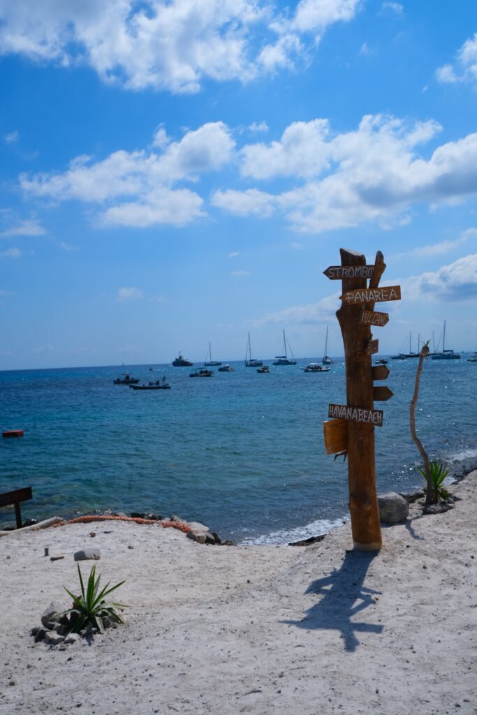
    Lipari is the largest and most populated of the Aeolian Islands (Isole Eolie in Italian), a volcanic archipelago off the coast of Sicily. There are seven gorgeous islands that you can visit: Lipari, Vulcano, Salina, Stromboli, Filicudi, Alicudi and Panarea.The easiest way to get to Lipari or any other island is to take a ferry/ hydrofoils from Milazzo on the north coast of Sicily.We landed in Catania airport with a flight from London, for then drove to Milazzo with a friend’s car. It’s not the best or quick journey go to the Aeolian island, as once you are in Catania airport you still have to drive 2 hours by car and then take the boat for another 2-2 hour and half, but once you get there is very easy and quick to move from one island to another.The ferry will drop you off on the edge of Lipari town, at the Marina Lunga harbour and it is a short walk through the colourful streets to get to the historic harbour area of Marina Corta. Around the harbour area there are lots of restaurants and cafes (my favourite one is ‘La terrazza sul mare’ where you can get the best granita and brioche or ice cream of the island), and is the perfect spot for lunch or a romantic dinner in the evening. Lipari is the most practical base for visiting the Aeolian Islands.Outside the main Italian tourist season (late July – August) Lipari town is large enough not to feel overwhelmed by tourism. It also has a good choice of accommodation for different budgets.

    We stayed in Lipari island for seven nights and each day we were exploring different beaches and islands, to reach the most beautiful hidden gems of each island you will need to rent a boat, as most of them are not accessible by foot/car.

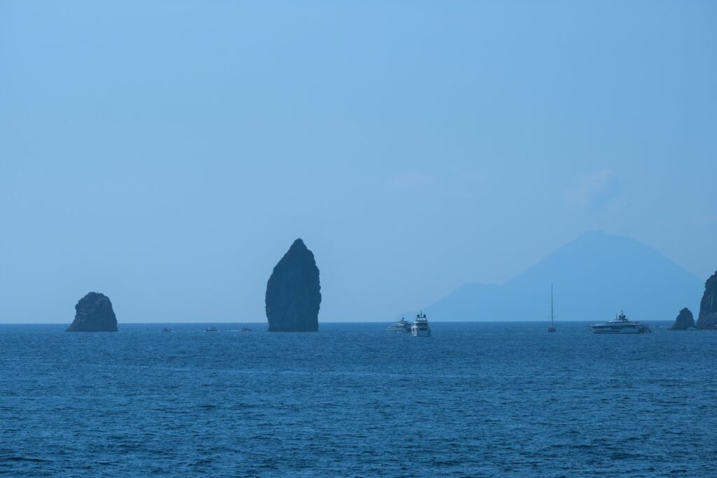
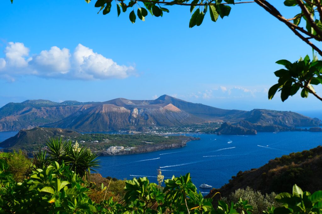
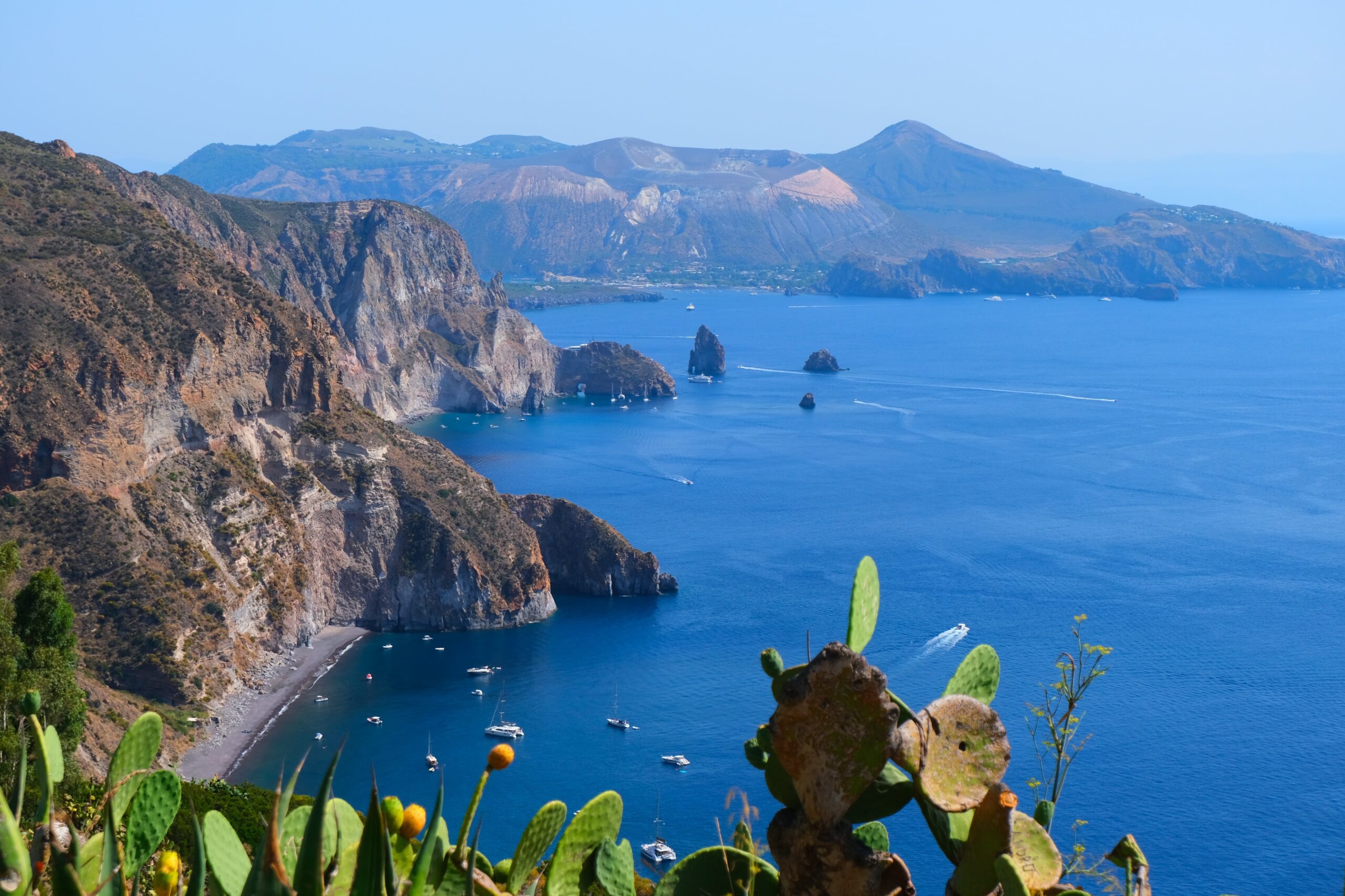
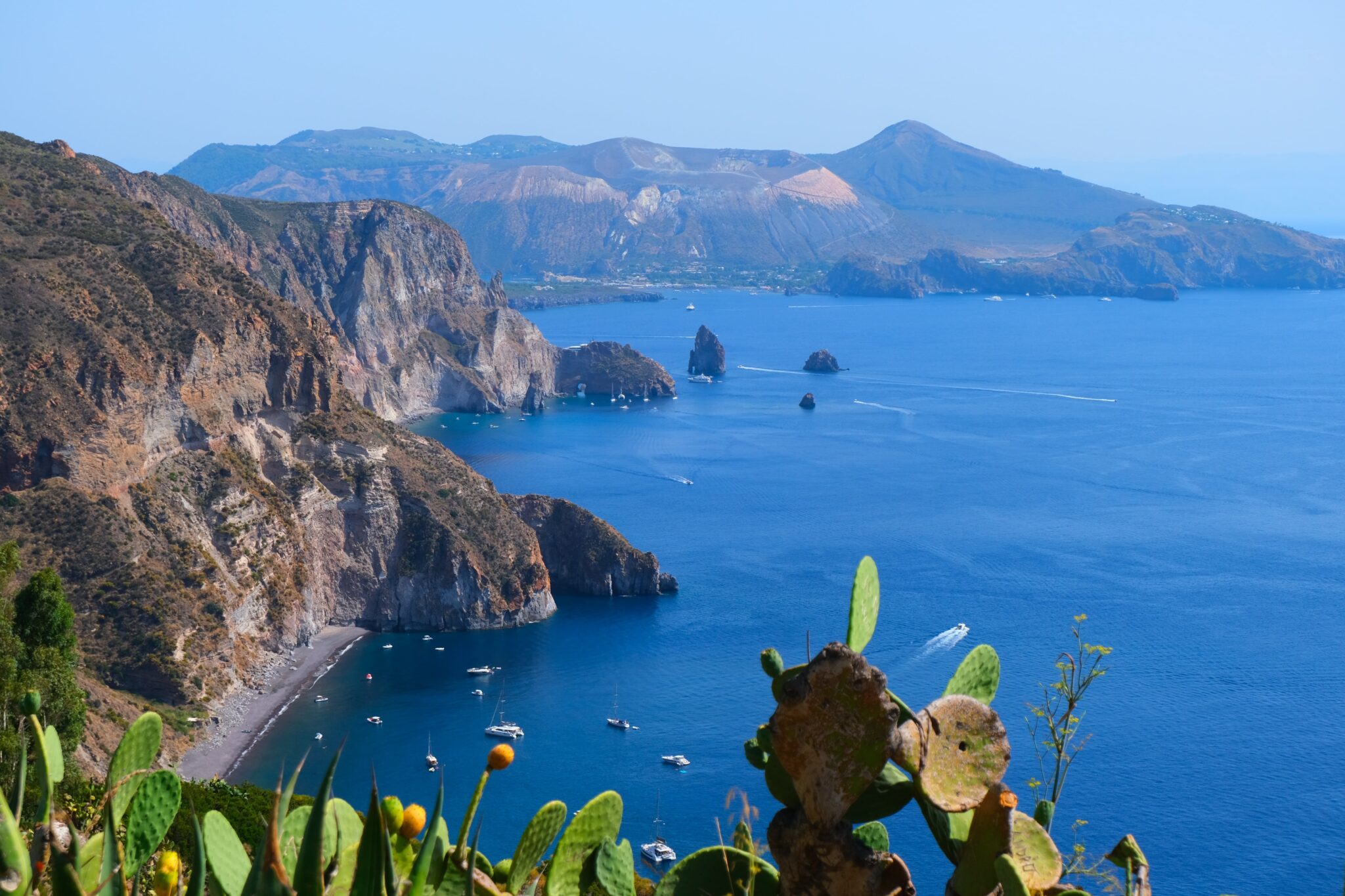
    The island of Lipari has the biggest town of the archipelago, also called Lipari, a lovely busy place with picturesque streets, an attractive harbour and a historic castle-citadel. All seven Aeolian islands have volcanic origins, but only in Vulcano and Stromboli island there are still activities today, while we were in Lipari, Vulcano island was making so much noise:).The last eruption on the island of Lipari took place around 1,400 years ago, and there are currently no signs of volcanic activity other than thermal springs and fumaroles, but the island offer some fantastic scenery like the “I Faraglioni di Lipari”, gorgeous beaches, and the liveliest town of the islands – Lipari is active late into the night (in the summer) and has a very wide selection of bars and restaurants.

    Excursions and boat trips

    There are many organize boat trips departing from Lipari, that will allow you to visit the other Aeolian Islands. During the summer you’re spoiled with choices, outside the peak season you may still find some excursions running. Walking around Lipari town and the harbour, you will see many shops and salespeople that organize boat trips, they are all very similar and have good price. All of the islands are worth visiting, but the most popular excursion is to Stromboli. To visit the active volcano, you can take an early-morning trip to climb the volcano, or a later trip so you will be able also to visit Panarea, and leaves Stromboli after dark, in order to watch the eruptions from the sea. This is a long but exciting excursion, and I would recommend it.

    YOU MAY ALSO LIKE

    THE COMPLETE TRAVEL GUIDE – BARBADOS

    THE COMPLETE TRAVEL GUIDE – WHITSUNDAY ISLAND

    THE COMPLETE TRAVEL GUIDE – WHERE TO GO WHEN
    Tailor-made

    Want this trip, made for you?

    I’ll design your trip to the Aeolian Islands — the route, the right hotels and the experiences that matter, around your dates.

    On this page

    TheLionVoyager

    Written by Graziano
    Travel designer & photographer

    Photo gallery

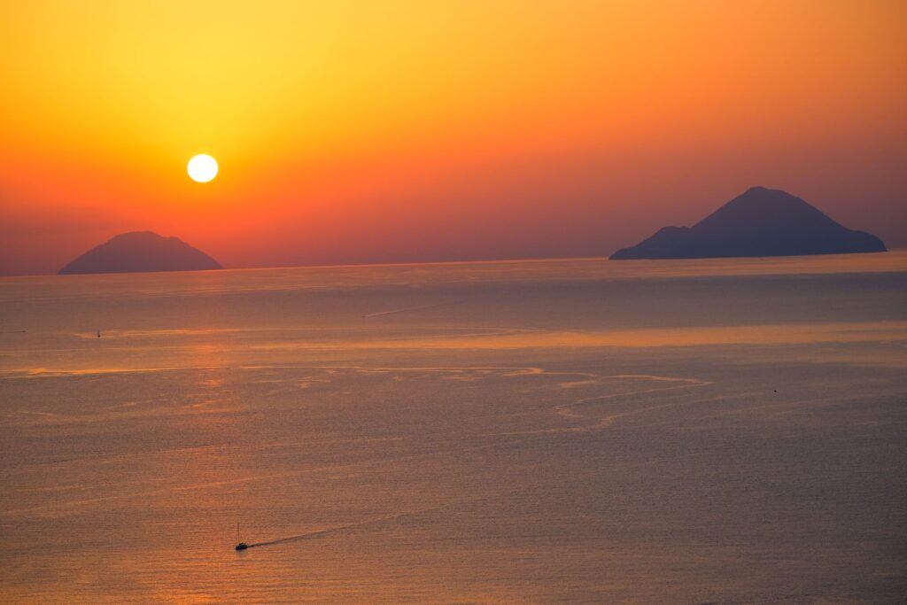
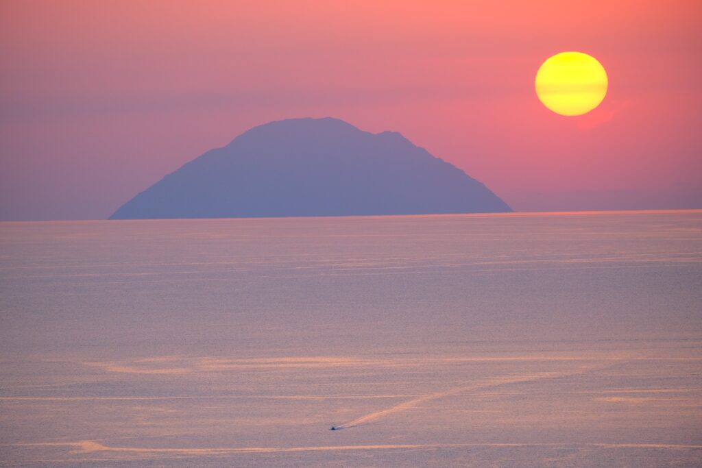
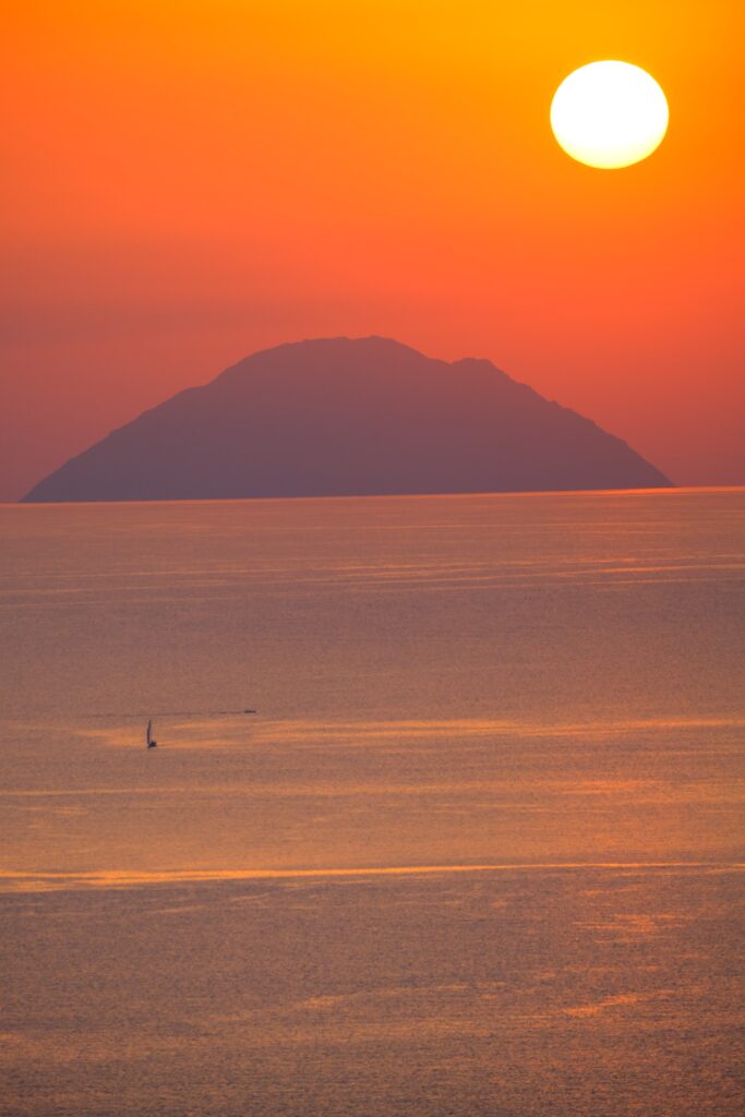
    The island of Lipari, precious pearl of the Aeolian Islands through my lens

  • The 8 best beaches in Cornwall & Dorset

    The 8 best beaches in Cornwall & Dorset

    Destinations › Europe › United Kingdom

    The 8 best beaches in Cornwall & Dorset

    Turquoise coves, clifftop walks and golden sand on England’s south-west coast.

    8 Of my favourite beaches to discover in Cornwall & Dorset, UK – My Complete Guide

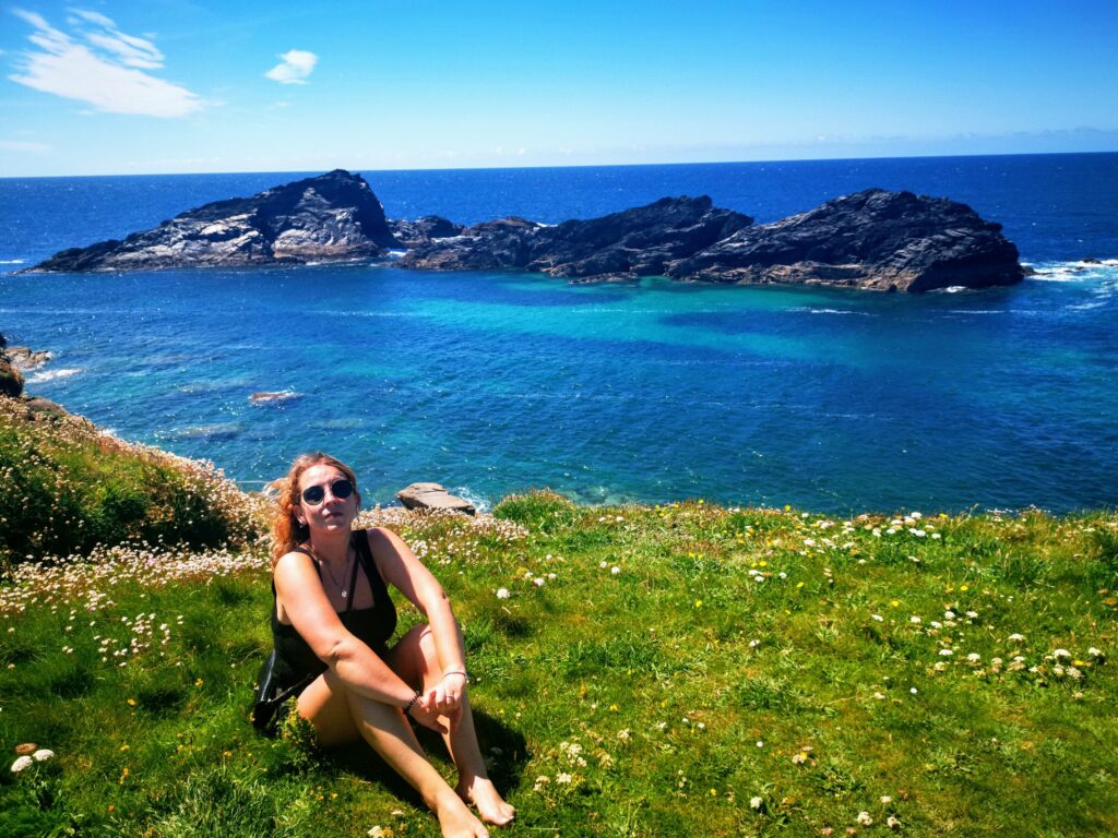
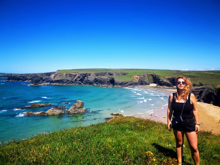
    Cornwall is the extreme south-western peninsula of England, it’s one of the most beautiful places to visit in the country. To have the chance and enjoy every corner of the peninsula, you will need a car, would be hard to go around without it. Cornwall is one of the UK’s favourite summer destinations, I love this part of the country, it remind me a lot of some part of Australia, it has dramatic coastlines, beautiful huge sandy beaches, pretty harbour villages and you can walk for hours along the coastal paths. Don’t forget that Cornwall has some of the most beautiful beaches of the country, the colour of the water is fantastic if you think that you are in the north of Europe. Check out below my favourite beaches!

    1. Carnewas and Bedruthan Steps

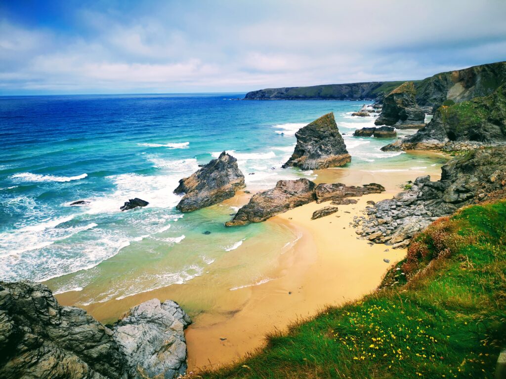
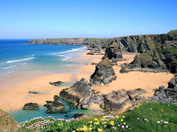
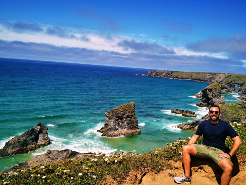
    Located in North Cornwall it’s an absolute must-see spot, the views are fantastic. The full walk will take you around 1.5-2 hours, the landscape over Bedruthan Steps is awesome. There are 149 steps down to the beach. Try to go when the tide is low, there is a large stretch of sandy beach, beautiful clear water, and lots to explore.Just 30 minutes south of Bedruthan Steps, there is another fantastic walk to do, starting from Poly Joke Beach to Holywell Bay Beach, absolutely wonderful beaches to visit and along the path the landscape is fantastic.

    2. Portheras Cove

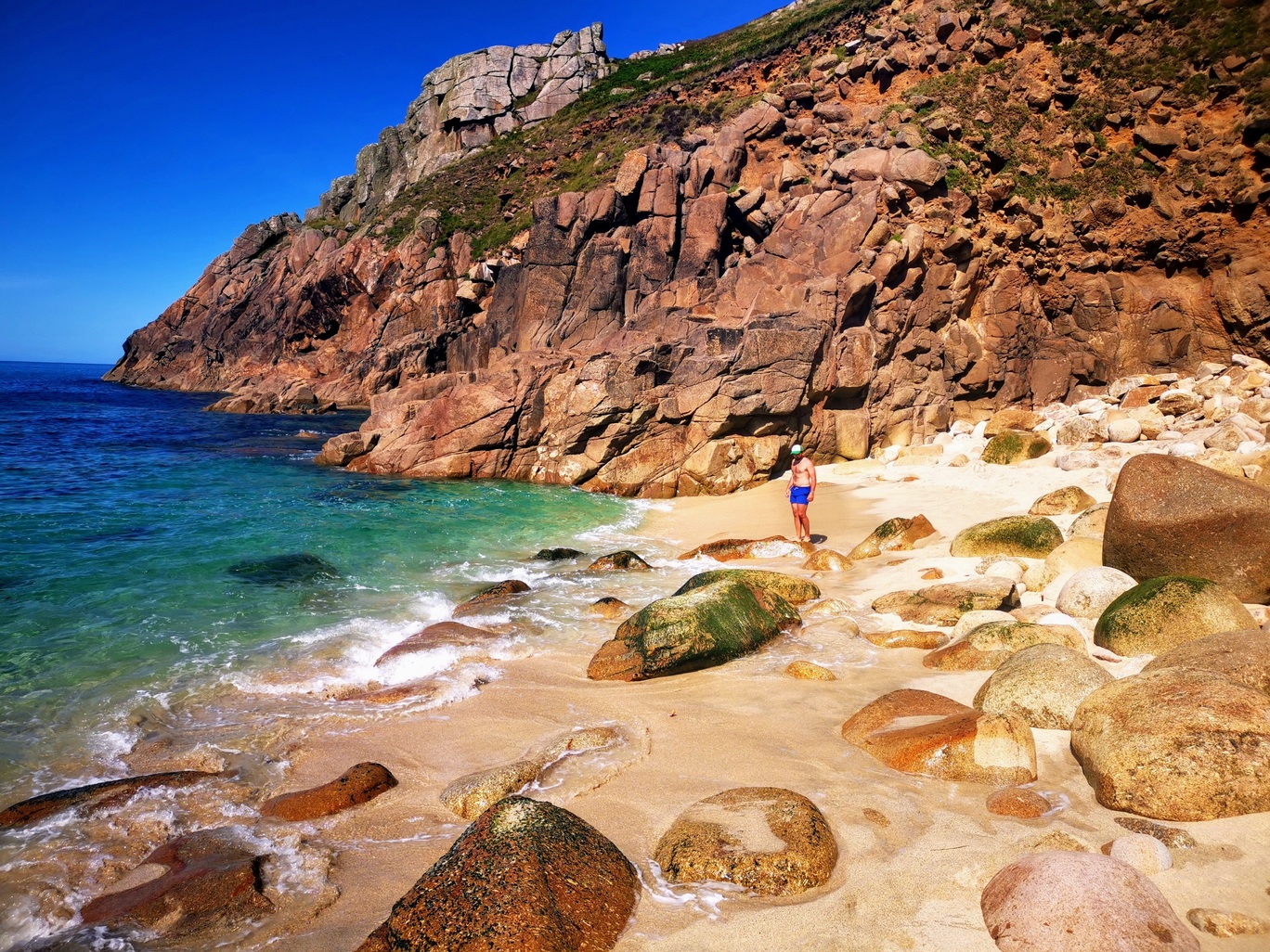
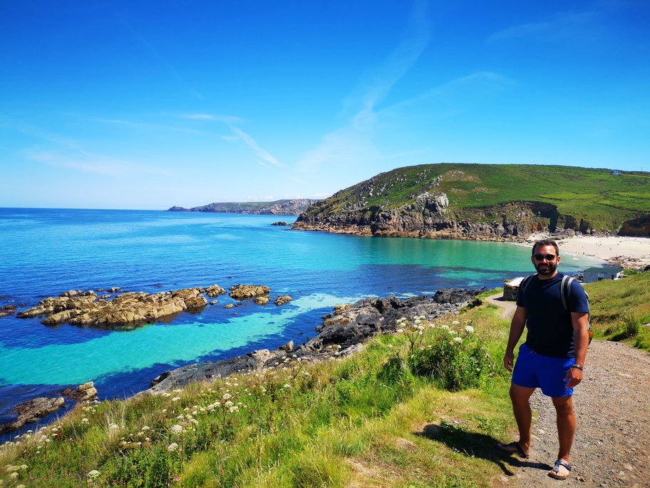
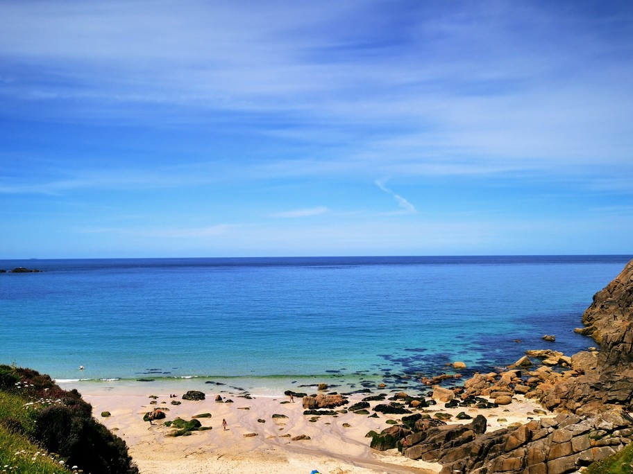
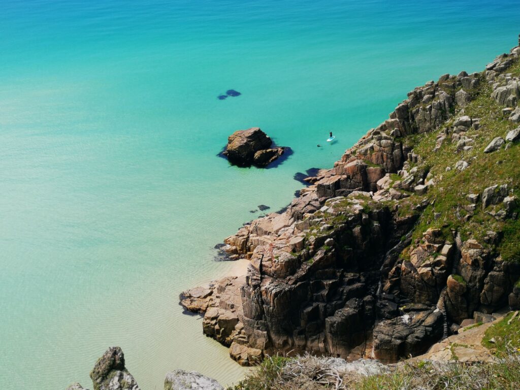
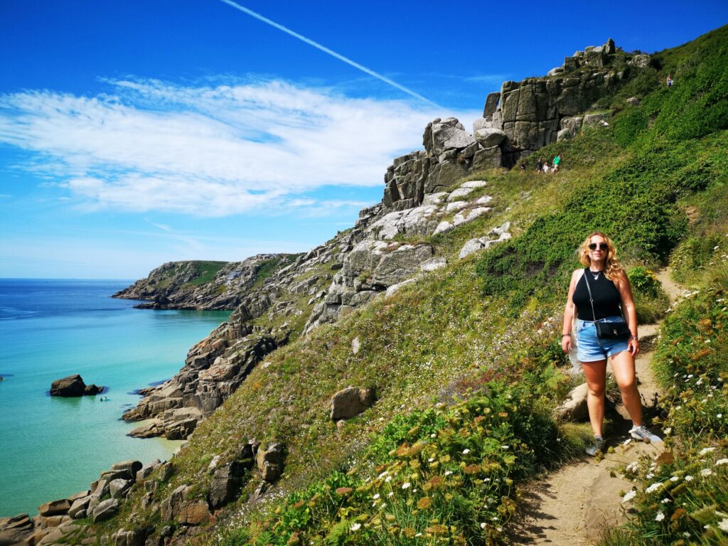
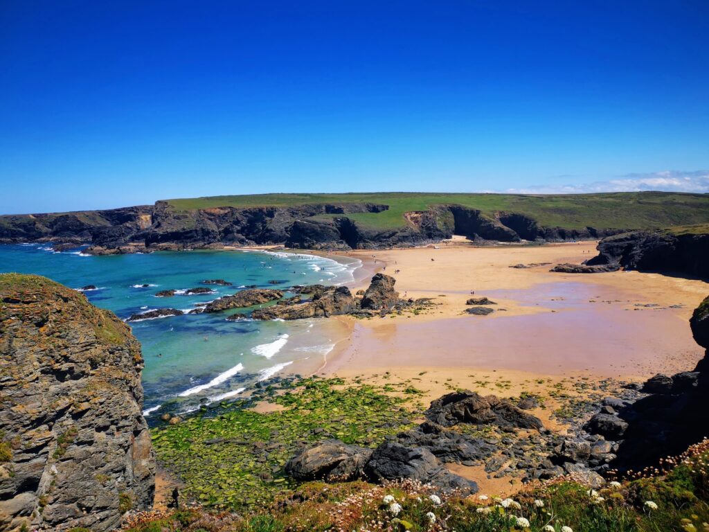
    A hidden gem, still not very well known by tourists. Portheras Cove is one of my top suggestions of places to visit in West Cornwall. It’s set between Pendeen and Morvah, on the coastline between Lands End and St Ives.A real ‘locals’ beach, it’s not the easiest beach to find, the cove is sandy and located at the end of a small valley and if you are lucky seals are a common sight here.We parked just next the white lighthouse of Pendeen, for then following the road to a lower small car park. From here there is a gate that opens on to the cliffs and you need to take the path on the right, it’s a fantastic scenic walk down to this beach, you will stop often as the view of the cove is unbelievable. The colour of the water is so bright, it’s really a perfect place for a relaxing day in a beautiful location.

    3. Pedn Vounder Beach

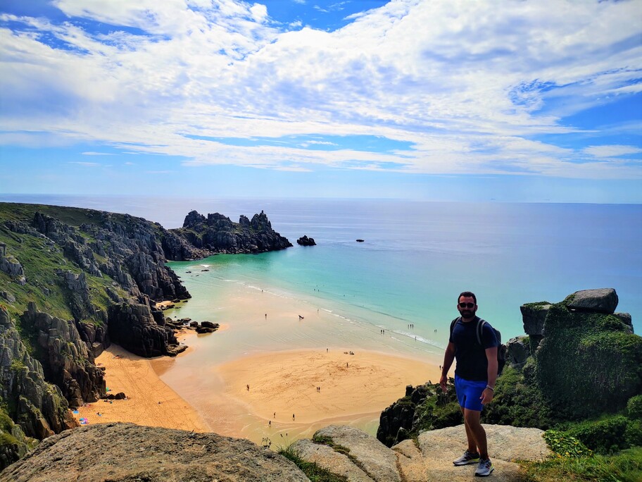
    One of my favourite beaches in Cornwall and one of the most picturesque. This glorious beach, surrounded by steep cliffs, with its crystal clear turquoise waters and white sand, is the eastern end of the bay that is Porthcurno Cove. It is not easy to get to because you have to go down a rugged cliff path to get to the sand. The grass car park is 10 minute walk away in Treen or it can be reached at low tide from Porthcurno Beach.

    4. Porthcothan Bay Beach

    Beautifully positioned between Newquay and Padstow sits Porthcothan Beach, a north west facing cove which is backed by lush grassy dunes. It’s a popular beach for families because of the expanse of open space and the sandy beach that opens out at low tide to connect up with small coves to the north and south. This section of the South West Coast Path is particularly spectacular, offering panoramic views from north to south, it is relatively short walk around to Bedruthan Steps, one of Cornwall’s most impressive sights.

    5. Durdle Door

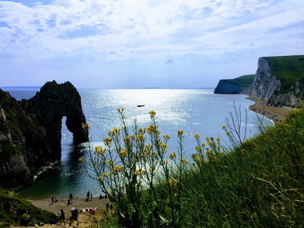
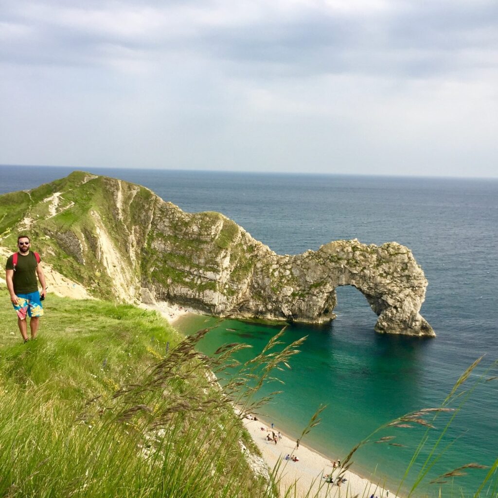
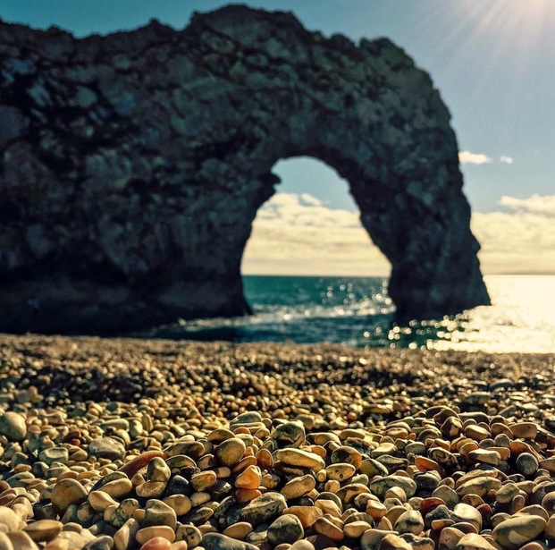
    Durdle Door is one of Dorset’s most photographed and iconic landmarks. It is part of the Jurassic Coast World Heritage Site and is an extremely popular on sunny days in the South of UK. It is a natural arch, formed from a layer of hard limestone standing almost vertically out of the sea. Durdle Door is a must-see for any trip to this region, walking the South West Coast Path offers spectacular views across the Jurassic Coast.

    6. Holywell Bay Beach

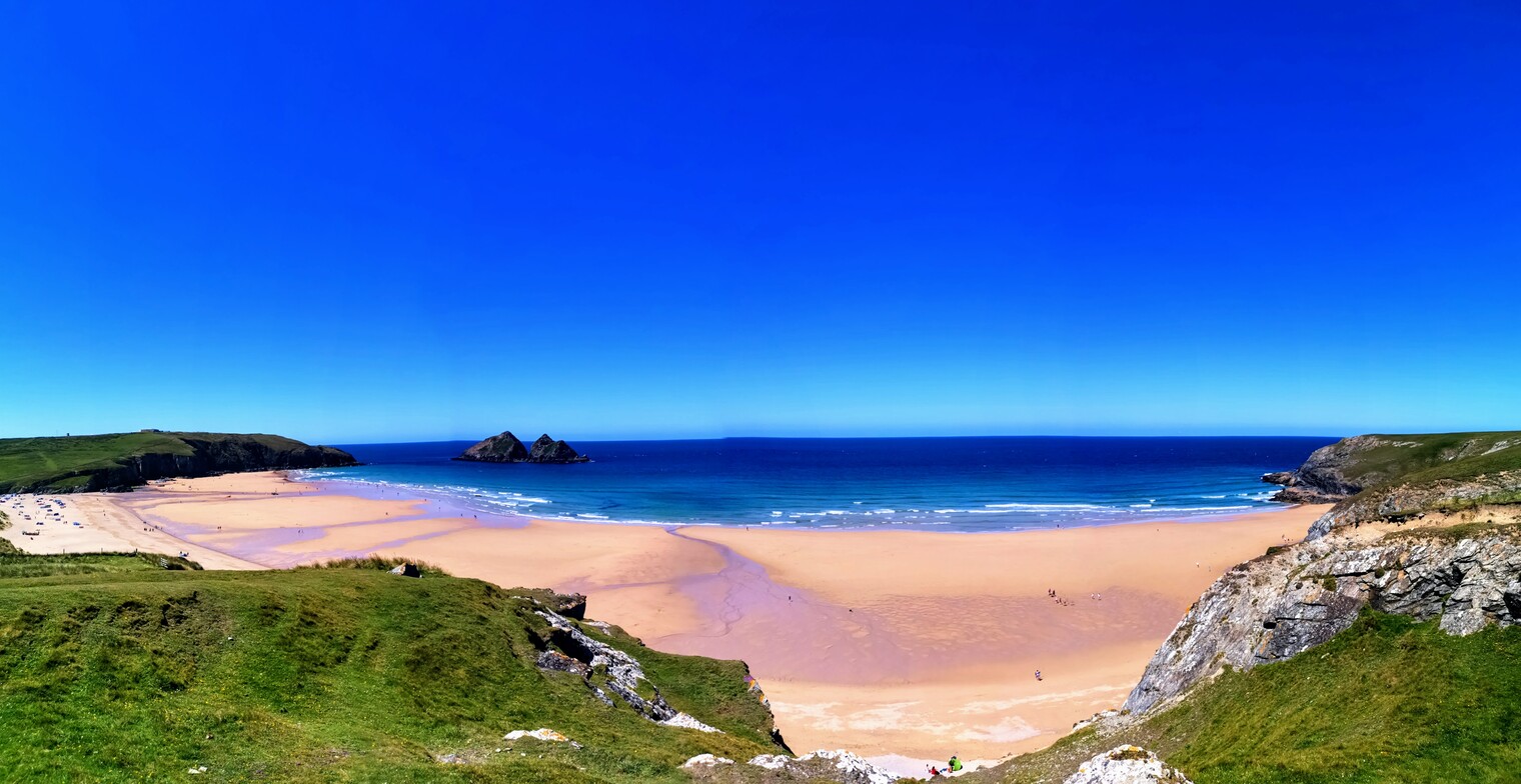
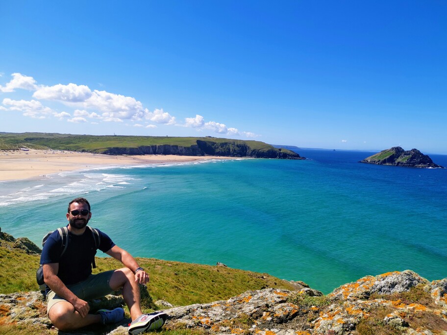
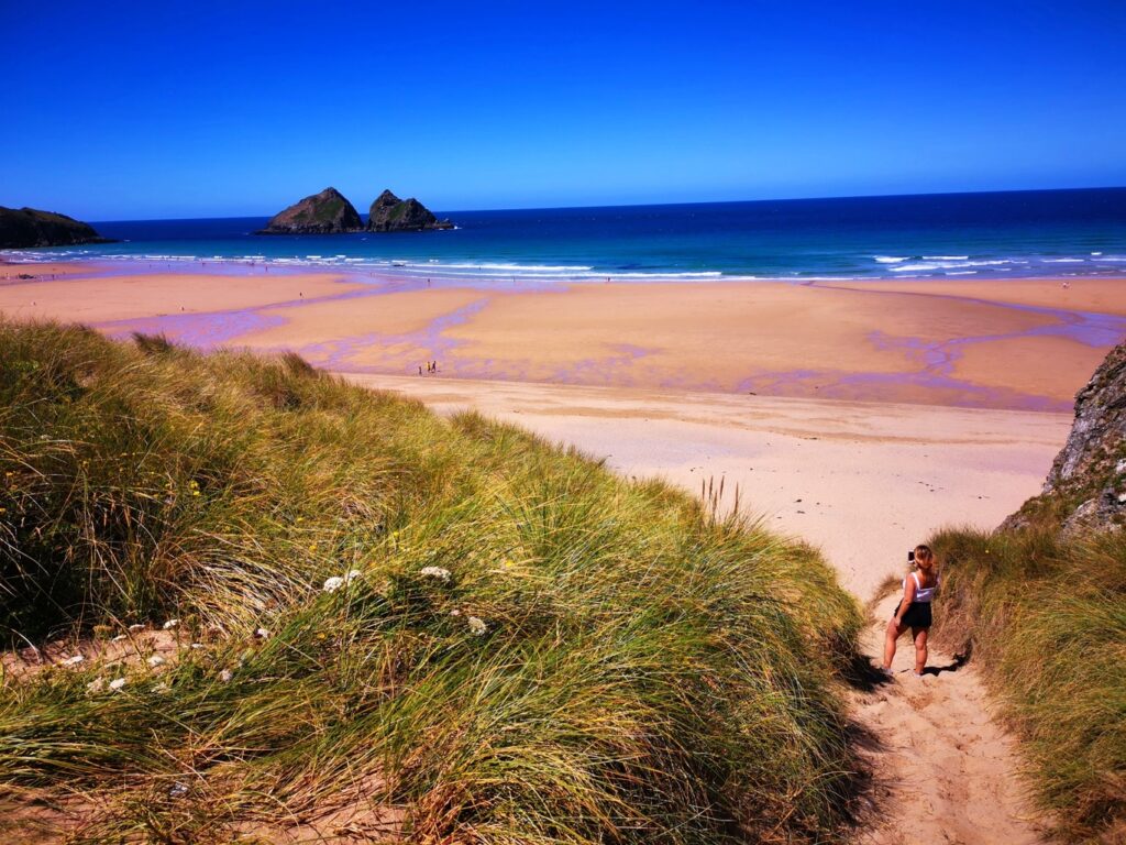
    The large, open and sandy beach at Holywell Bay is located around 6 miles west of Newquay, on the north Cornwall coast. Holywell Bay is a popular destination for surfers and swimmers. One of Holywell Bay’s most distinctive features are the twin rocks just of the coast. These two huge rocks are known as Gull Rocks or Carter’s Rocks. This beautiful beach has access from the car park from which is a short walk away. 

    7. Towan Beach

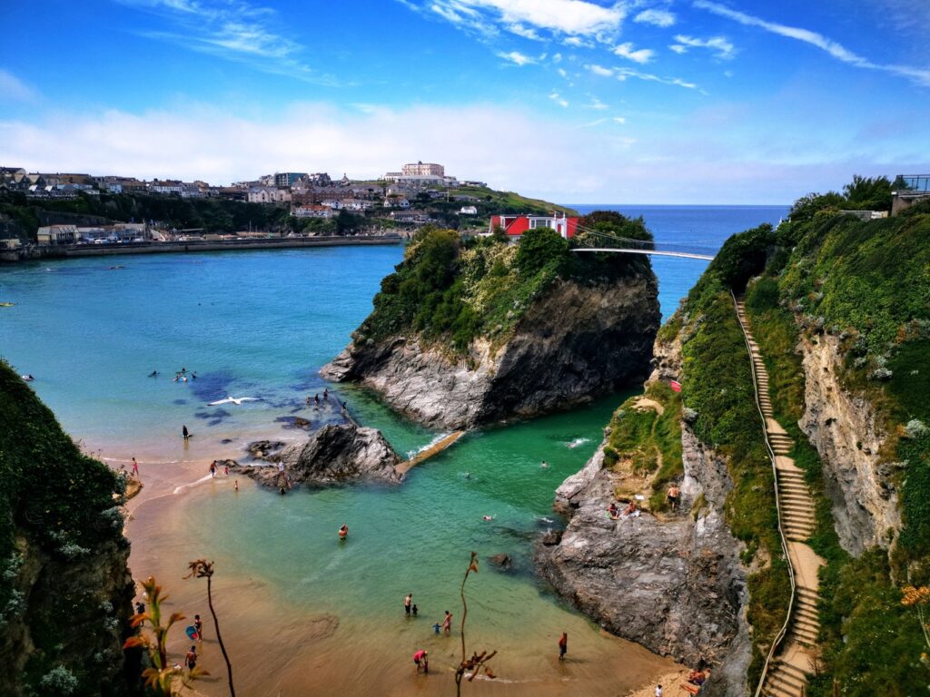
    Towan Beach is at the heart of Newquay,  a small but very photographic beach. Towan’s most iconic feature, ‘the Island’s, one of Cornwall’s most famous landmarks. Surrounded by water when the tide is in, this tiny island is connected to the mainland by a 90ft high suspension footbridge that dates back to 1902 and is home to what has got to be one of the most impressive beach houses.

    8. Lulworth Cove

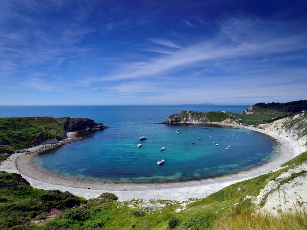
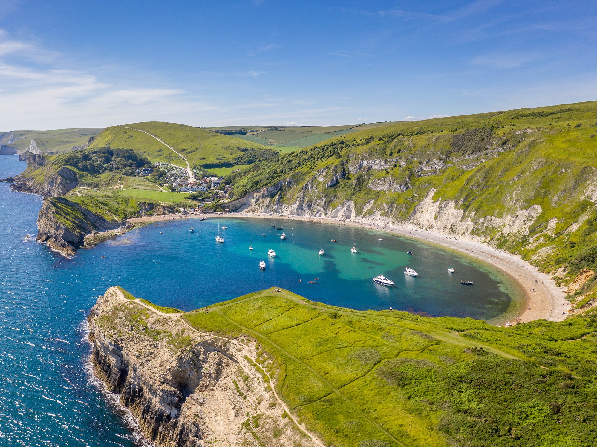
    This quiet corner of Dorset may surprise you, Lulworth Cove is a stunning natural cove located next to the village of West Lulworth. The Cove is still used by working fishermen. The natural shape of Lulworth Cove provides excellent shelter for the small fishing boats which are moored here. If you have a small inflatable boat or a kayak, it is generally very safe to use in the Cove. The beach is also dog friendly all year so your whole family can enjoy a day out here.

    YOU MAY ALSO LIKE

    THE COMPLETE TRAVEL GUIDE – LONDON AND SURROUNDING

    THE COMPLETE TRAVEL GUIDE – CORNWALL

    THE COMPLETE TRAVEL GUIDE – WHERE TO GO WHEN
    Tailor-made

    Want this trip, made for you?

    I’ll design your trip to Cornwall — the route, the right hotels and the experiences that matter, around your dates.

    Written by Graziano
    Travel designer & photographer

  • The Gulf of Orosei, Sardinia

    The Gulf of Orosei, Sardinia

    Destinations › Europe › Italy

    The Gulf of Orosei, Sardinia

    Cala Goloritzè, Cala Luna and Cala Mariolu: the wildest coast of Sardinia.

    How to get there?

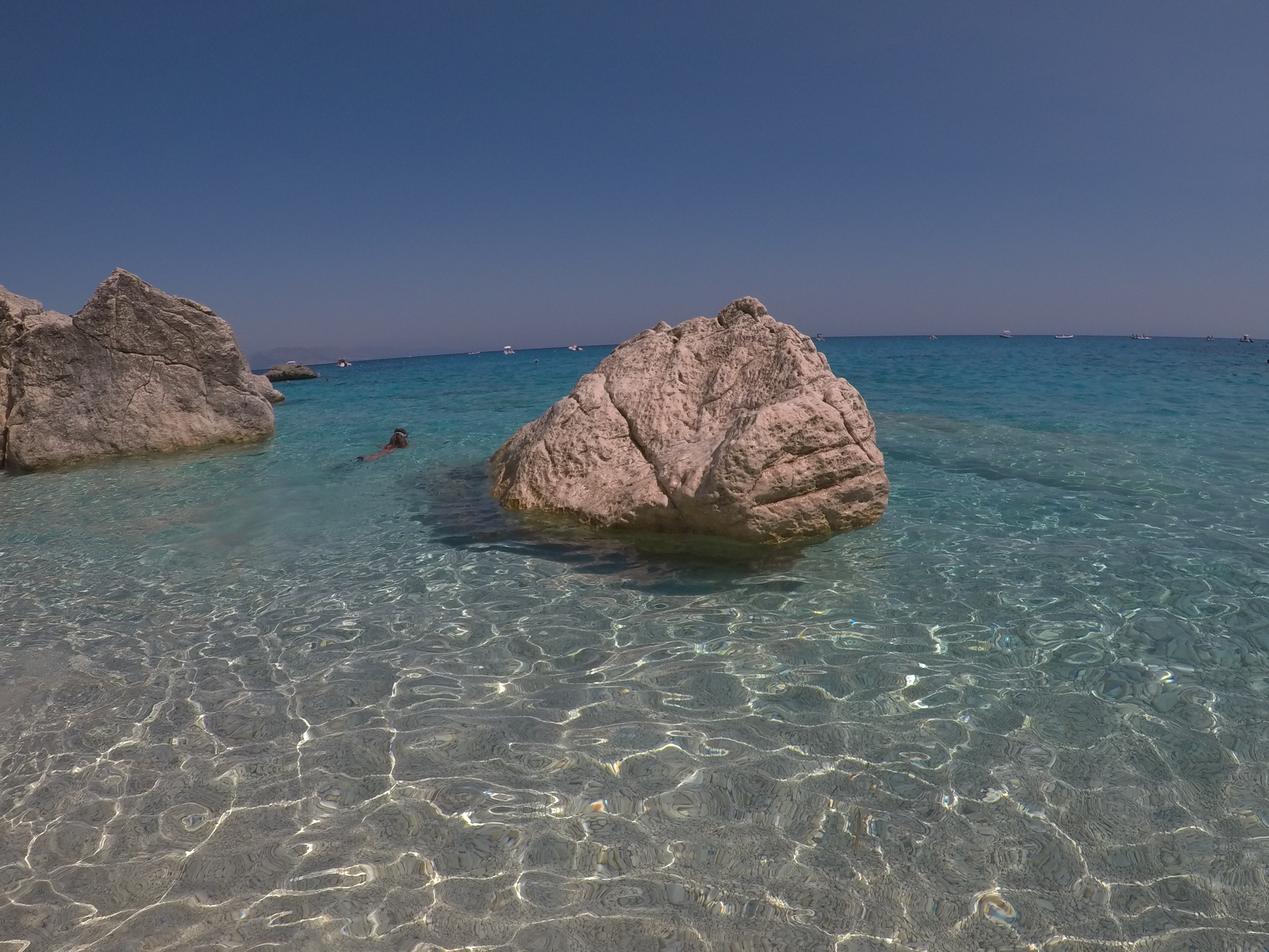
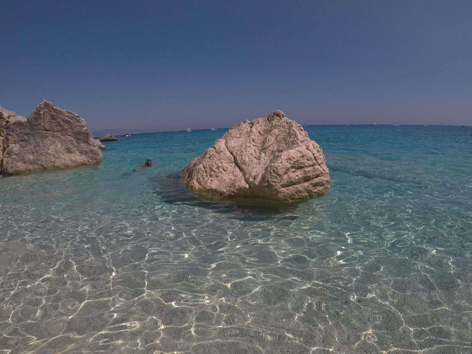
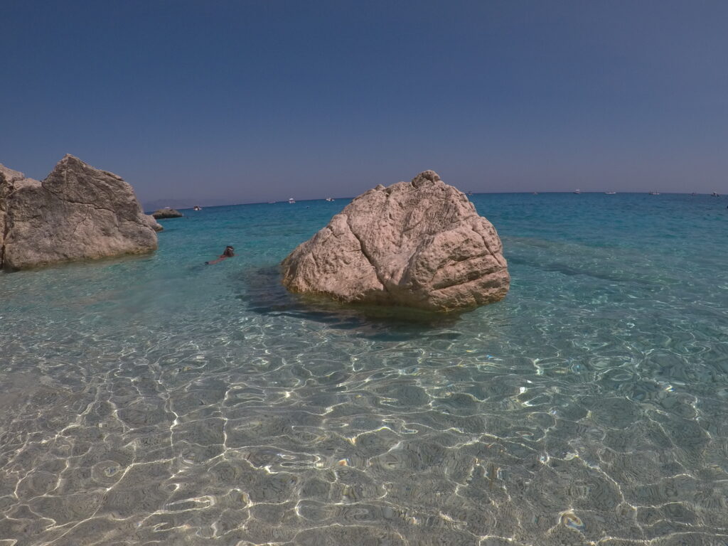
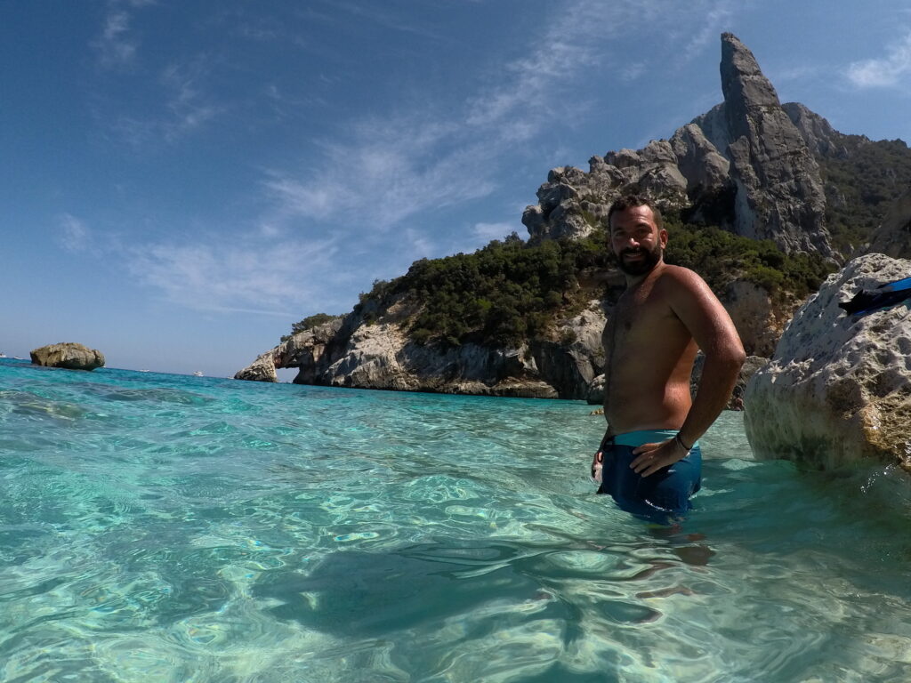
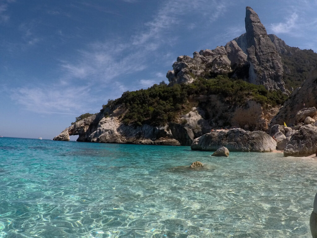
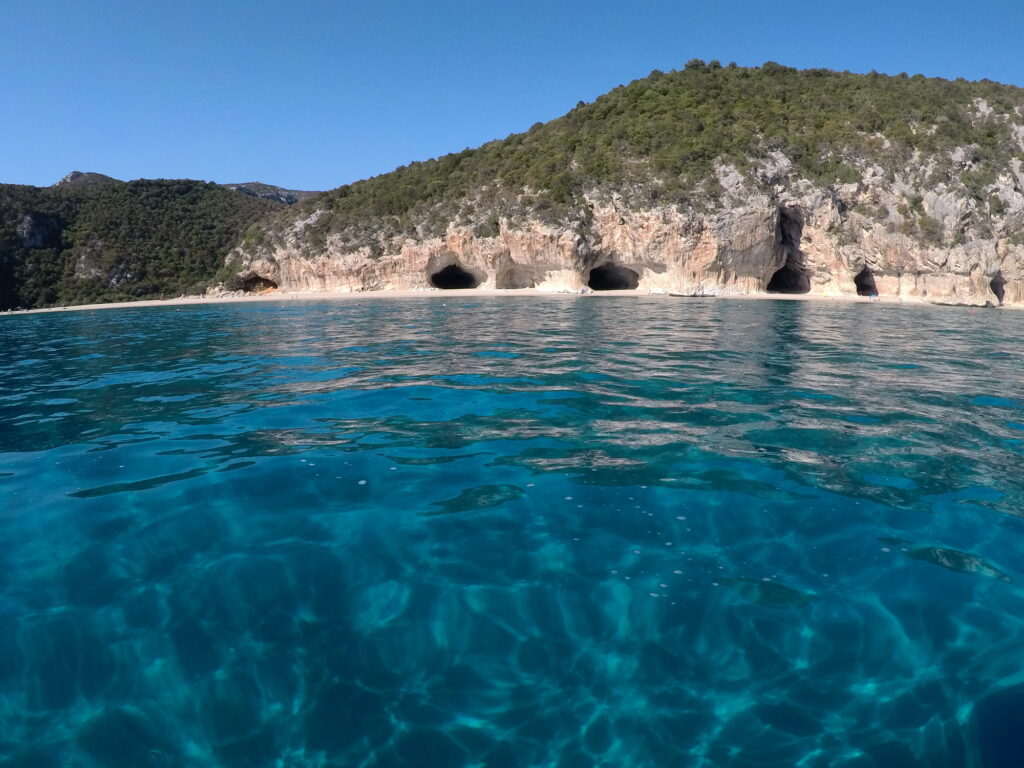
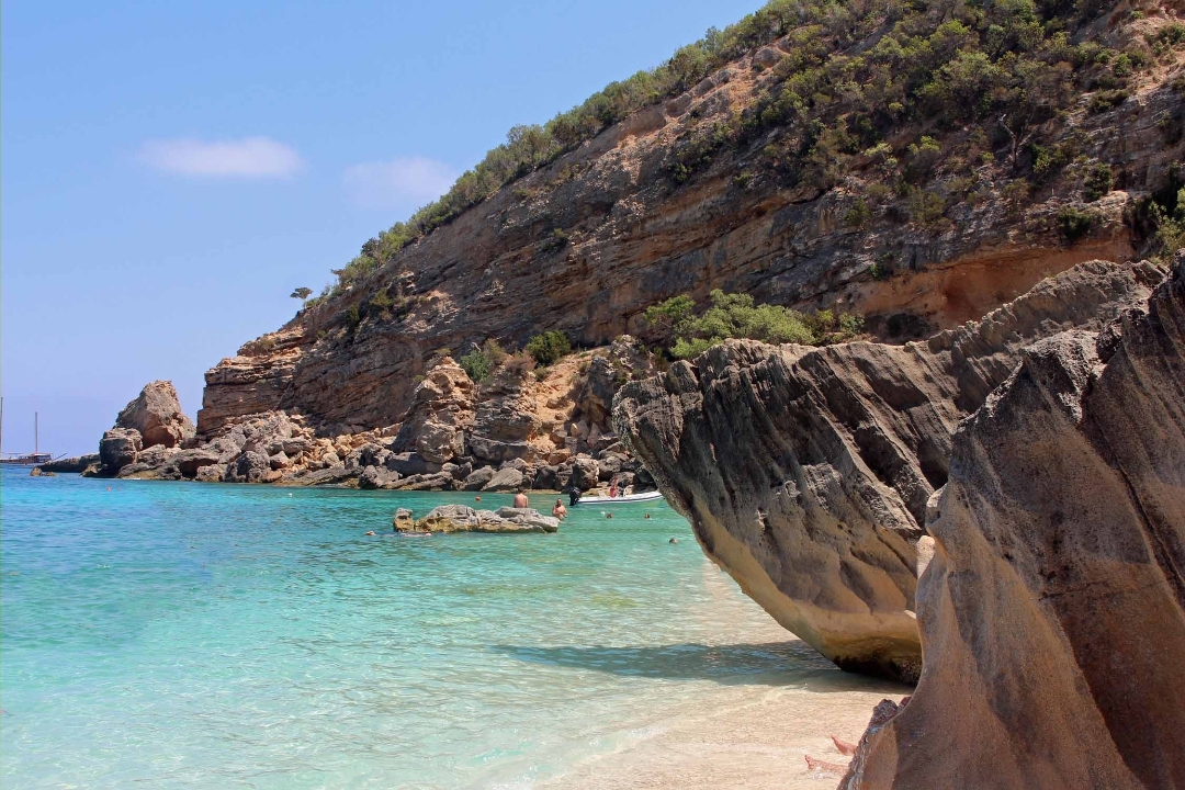
    The Gulf of Orosei is one of the most beautiful and fascinating areas to discover in Sardinia. Situated one hour and twenty minutes south of Olbia and around three hours from Cagliari, this area is a fantastic mix of sea and mountains, a paradise for nature lovers, in the central-eastern part of Sardinia, there is a vast and unspoilt natural complex ready to be explored.We explored this area in the summer of 2017, the best town where to stay is Cala Gonone, we were in “I Ginepri Hotel”, a beautiful structure overlooking the sea. The island of Sardinia in my opinion has some of the most beautiful beaches in Europe, and beaches such as Cala Goloritzè, Cala Luna and Cala Mariolu need to be in the top 20 of the World.The Gulf of Orosei stretches for 30 kilometres on the east coast and here you can find wild and rocky beaches, nearly all of them are only accessible by walking, climbing or by boat, and this is why the bay of Orosei is particularly popular with outdoor lovers and hikers. In the beaches of this National Park there aren’t umbrellas or beach bars, so try to equip your backpack with food and drinks for the day.

    Boat Excursion day trip to discover the Gulf of Orosei

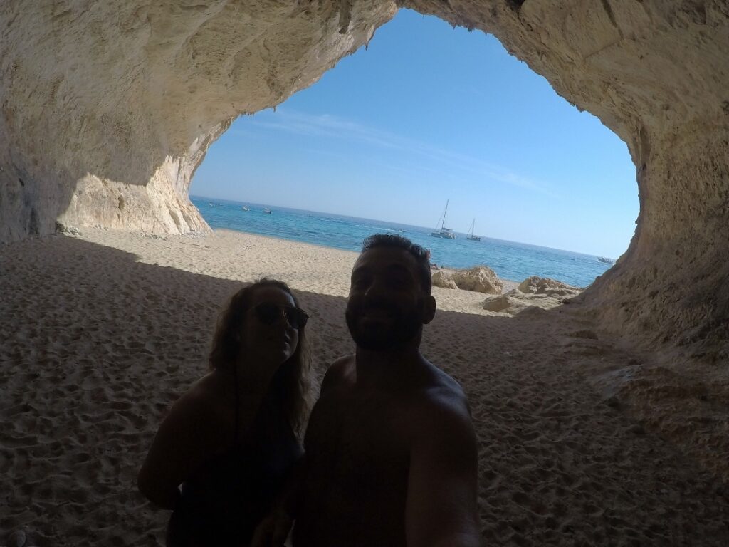
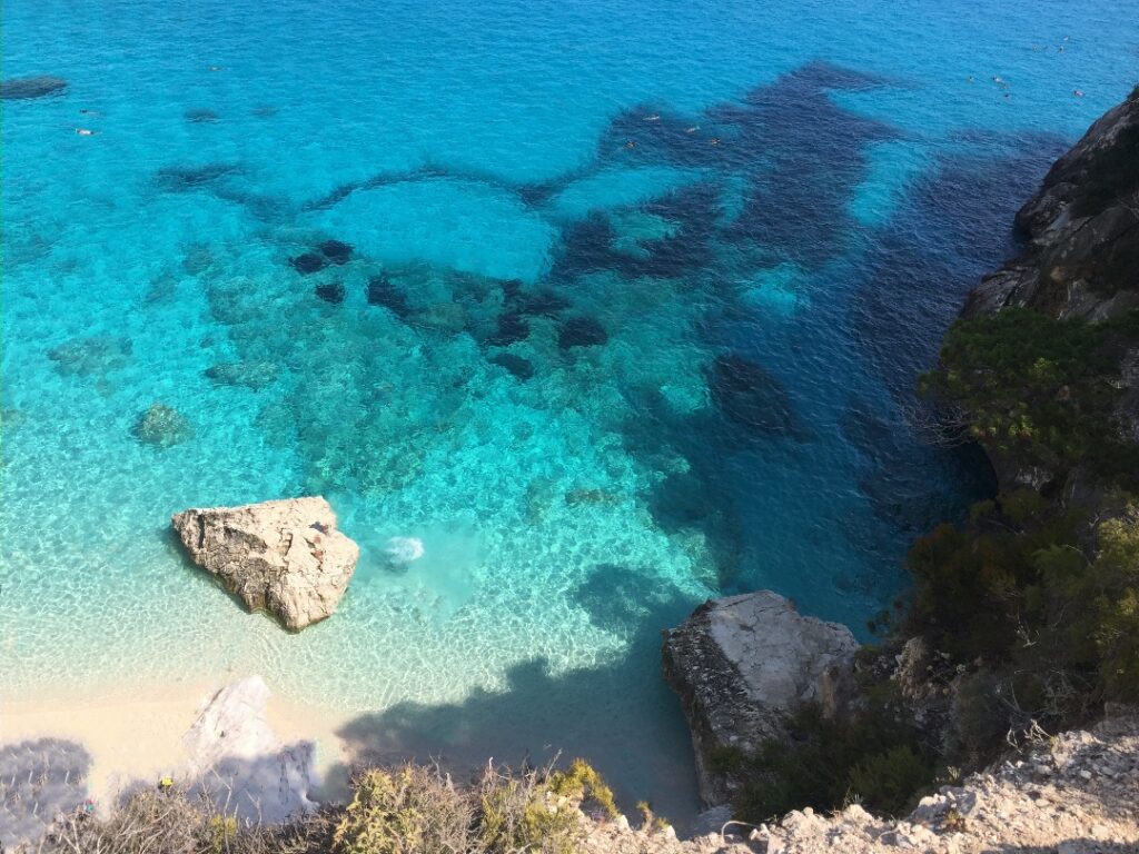
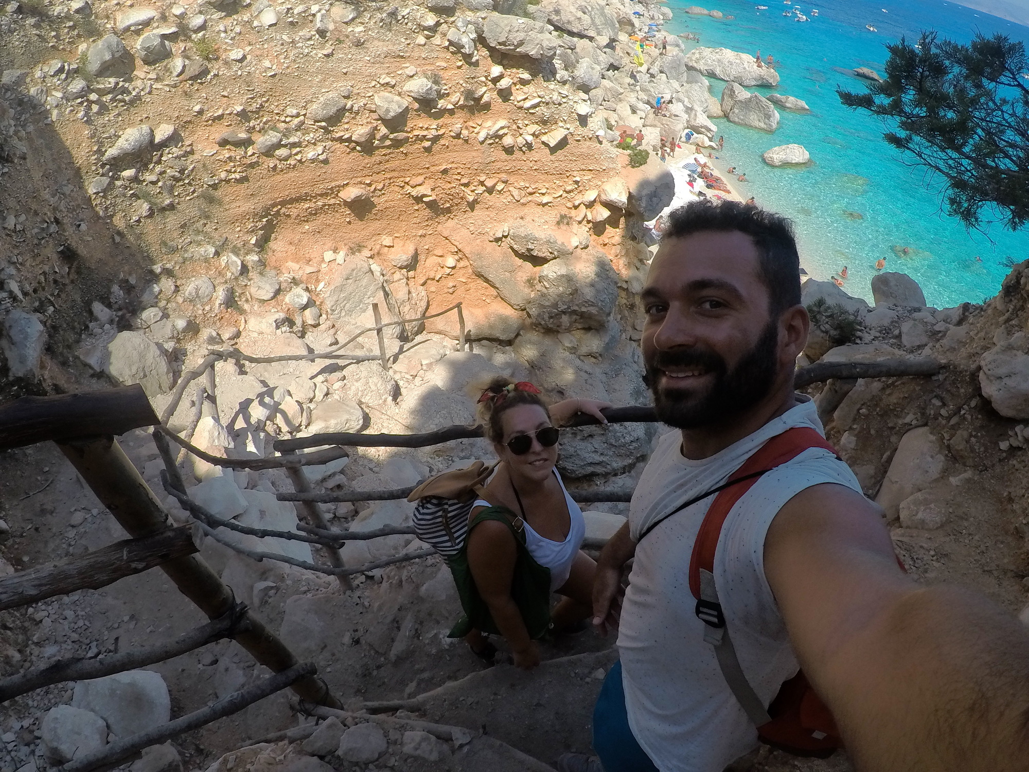
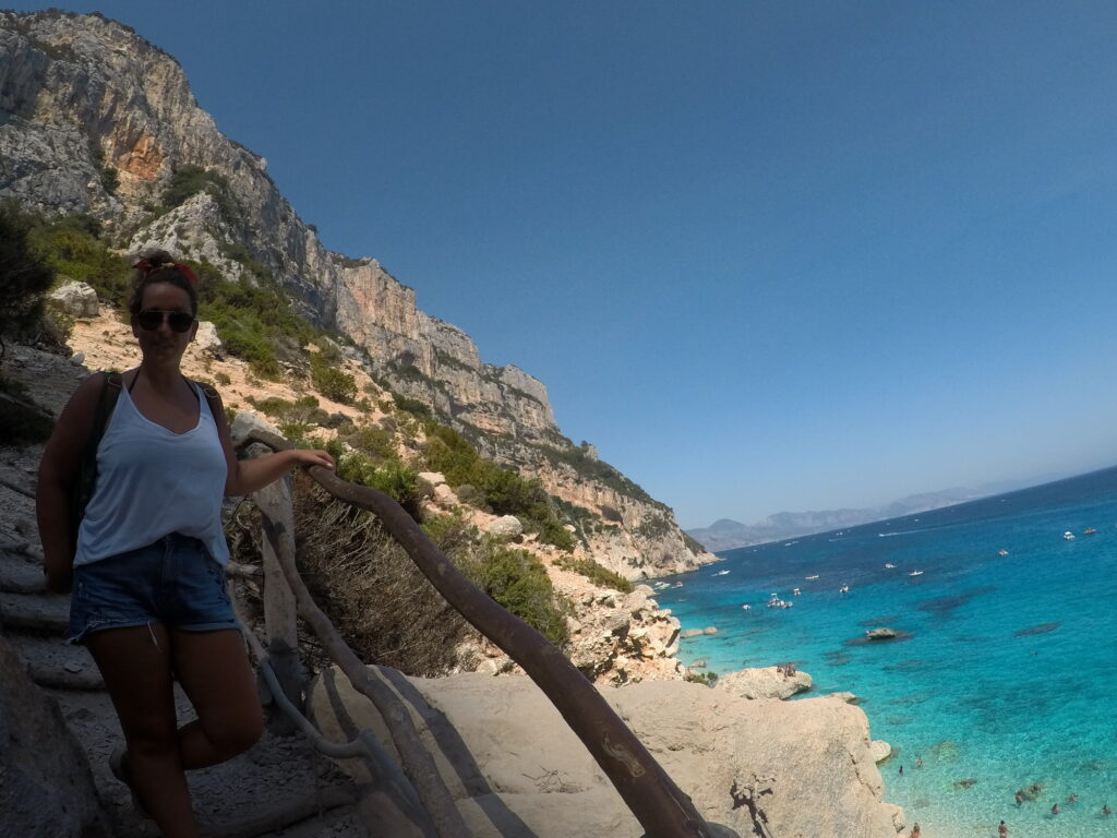
    One of the main activities to do in the area is a full day excursion by boat exploring the Gulf of Orosei, that will allow you to reach wonderful bays that can’t be accessed by foot. The main departure harbour is from Cala Gonone, you can find many small boats companies that organize boat trips of the bay from around 40€, our boat was hosting 7 people, kind of “private tour”. The itinerary of the boat companies are all the same, they will stop in some of the best beaches in Sardinia. The first stop will be Cala Luna, with its impressive seaside caves (remember to take pictures from inside the caves, they will look unreal), next stops will be Cala Sisine and Cala Biriola.Further ahead you will arrive at the beaches of Cala Mariolu and Cala Gabbiani, here the colour of the sea is unbelievably beautiful. Afterwards, you will head to the famous beach of Cala Goloritzè, probably one of the most beautiful bays in Europe, Cala Goloritzè is a wild bay with white sand and crystal-clear water, with its rocky arch on the sea and the majestic Punta Caroddi, is the most scenic destination in Sardinia for free climbers. We visited this beach twice, the first time we hiked through the park for over an hour, the path is not so easy but it is really worth it, the view that you have from the top of the beach is fantastic. You can park the car in Su Porteddu bar, where we stopped on our way back for a nice and refreshing beer, the local Ichnusa beer. The second time we visited was with the boat excursion, but the boat has to stay 300 meters offshore (A sea protection zone prevents Cala Goloritzè from being packed with boats), meaning anyone who wants to reach the beach from a private boat needs to swim.Even if the hike is long especially on the way back, I highly suggest to visit Cala Goloritzè by foot, the reward at the end is priceless, overlooking the bay from above it’s an amazing experience, unbelievably beautiful. Be sure to allow enough time for the hike back to your car before dark, and allow your self a refreshing Ichnusa.

    Cala Goloritzé,Baunei

    Cala Luna,Baunei

    Cala Mariolu,Baunei

    Cala Goloritzé Path,Baunei

    Tailor-made

    Want this trip, made for you?

    I’ll design your trip to Sardinia — the route, the right hotels and the experiences that matter, around your dates.

    Written by Graziano
    Travel designer & photographer

    Photo gallery

    The National Park of the Gulf of Orosei in Sardinia through my lens

  • The Viñales Valley

    The Viñales Valley

    Destinations › Central & South America › Cuba

    The Viñales Valley

    Tobacco farms, limestone mogotes and slow days in western Cuba.

    How to get here?

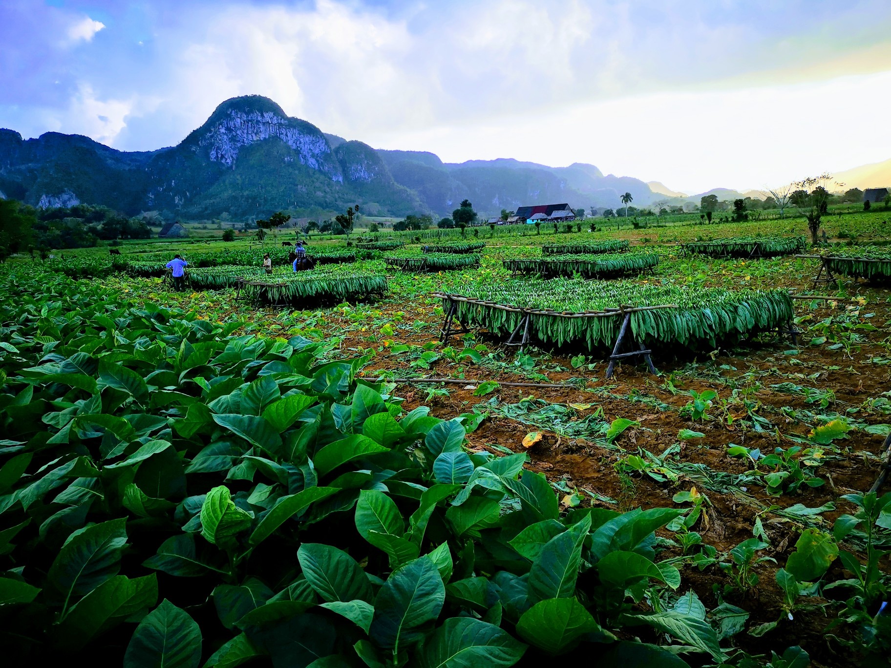
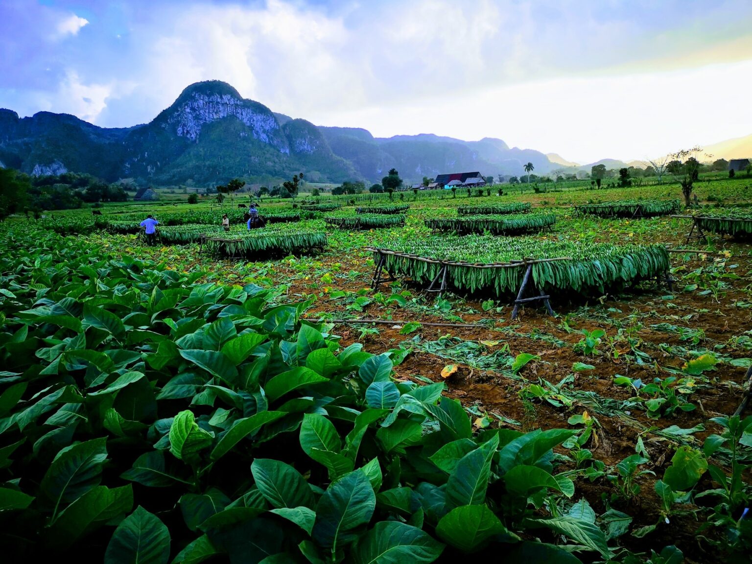
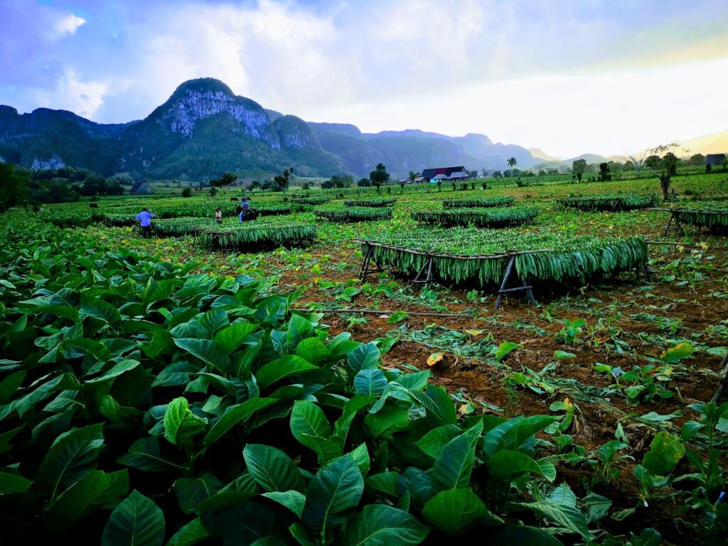
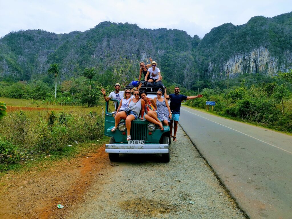
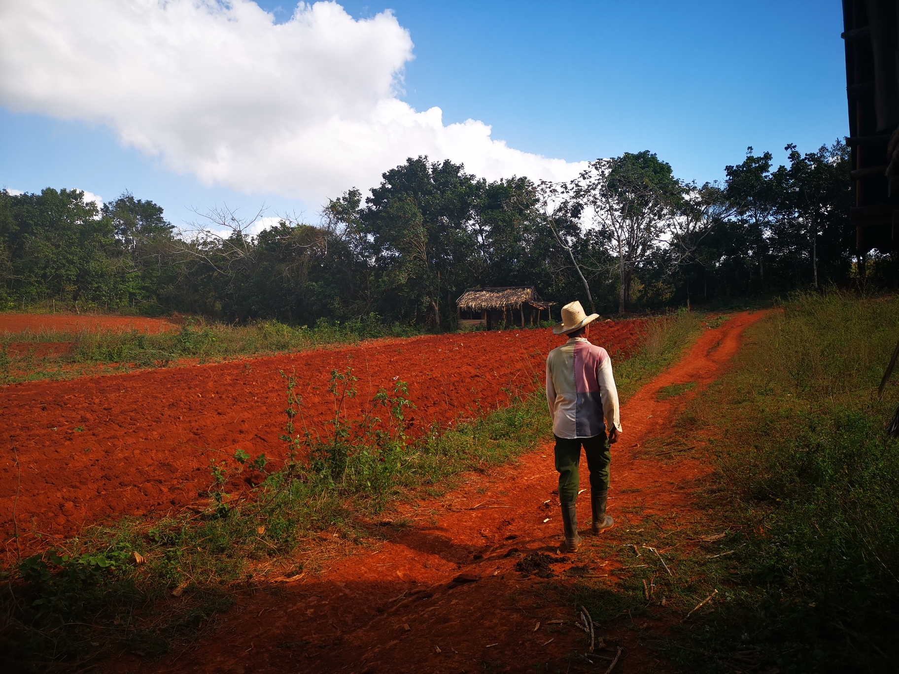
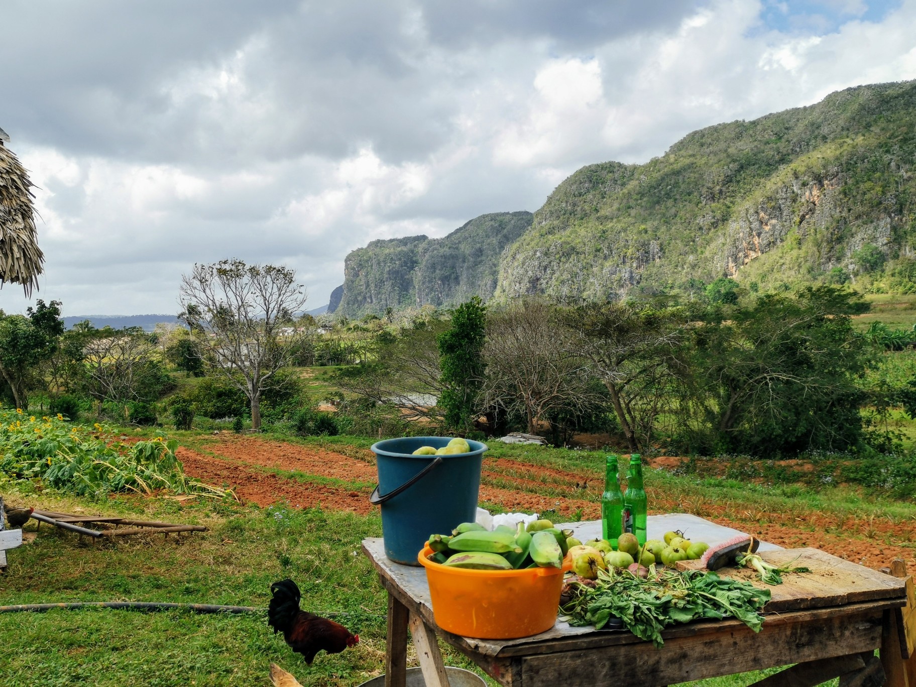
    The journey to arrive in Viñales Valley is beautiful. Situated in the province of Pinar del Río, during your journey from Havana you will see some of Cuba’s most picturesque landscapes. There is usually very little traffic on the road, and throughout the journey, there are multiple views that are worthy of making beautiful photographs.So, how do you get to Viñales from Havana? When I was in Cuba with my friends in 2019, we arranged in advance a private minibus with a local person, he picked up us from the airport (we were coming from few days in Cayo Largo del Sur) and he drove us to our casa particular in Viñales.It’s very easy to get to Viñales from Havana, it is approximately a 2 hour and a half car journey or you could get there by bus with Viazul buses – they are public coaches that travel across the country multiple times a day.I really love Viñales, it has a completely different scenario and vibes from any other towns of Cuba, Viñales is a small town especially famous for the green valley that surrounds it, where they grow all the tobacco that then gets used for the famous Cuban cigars.

    Viñales valley horse riding excursion

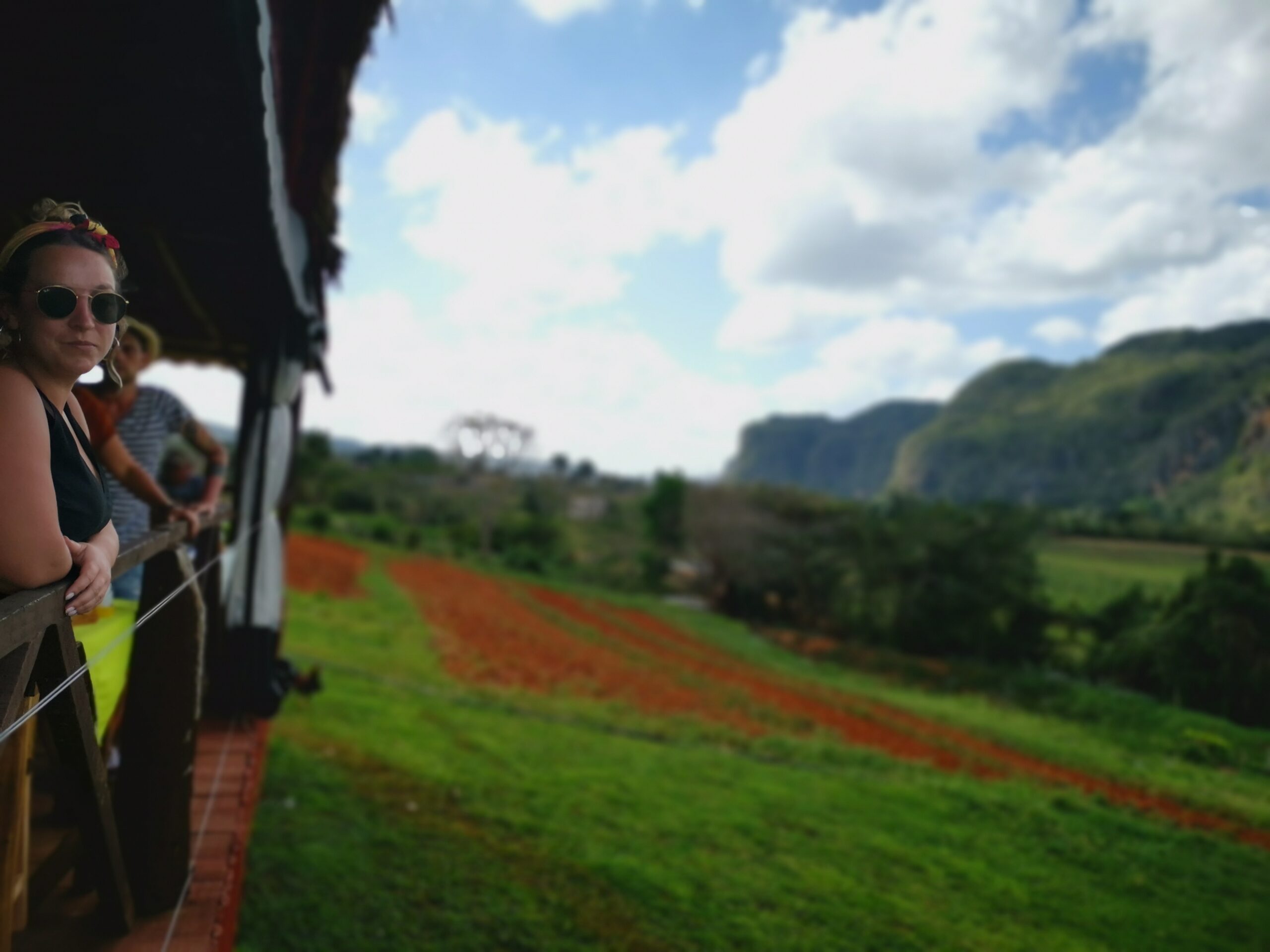
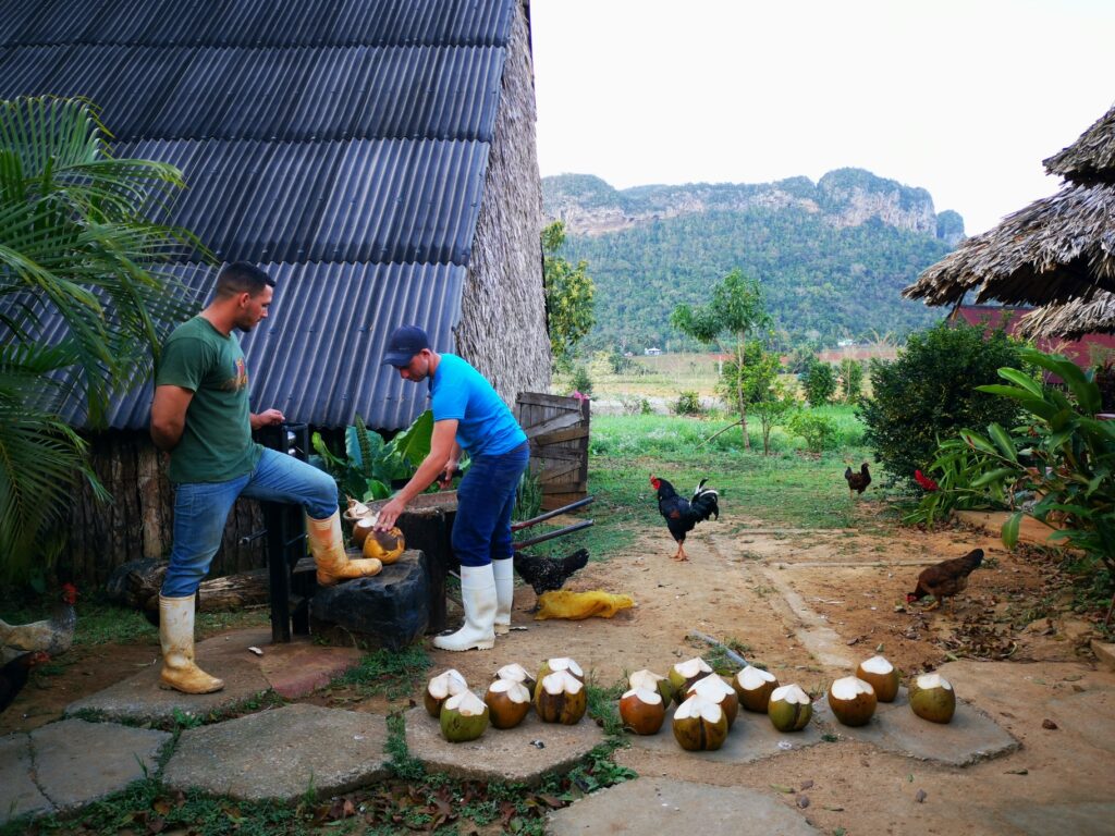
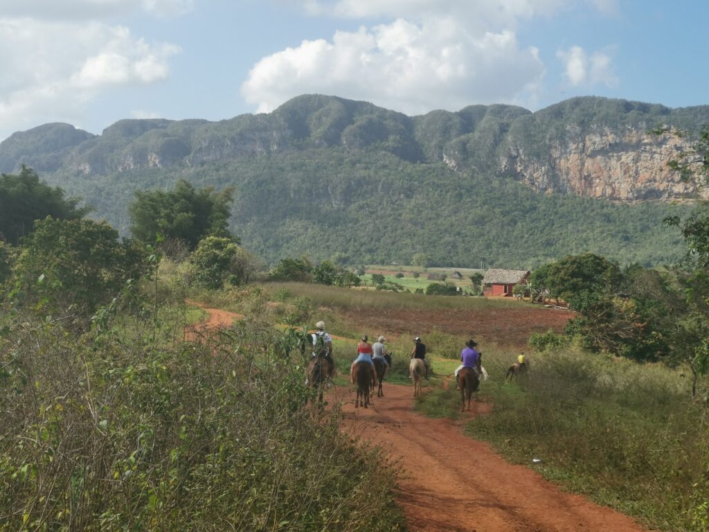
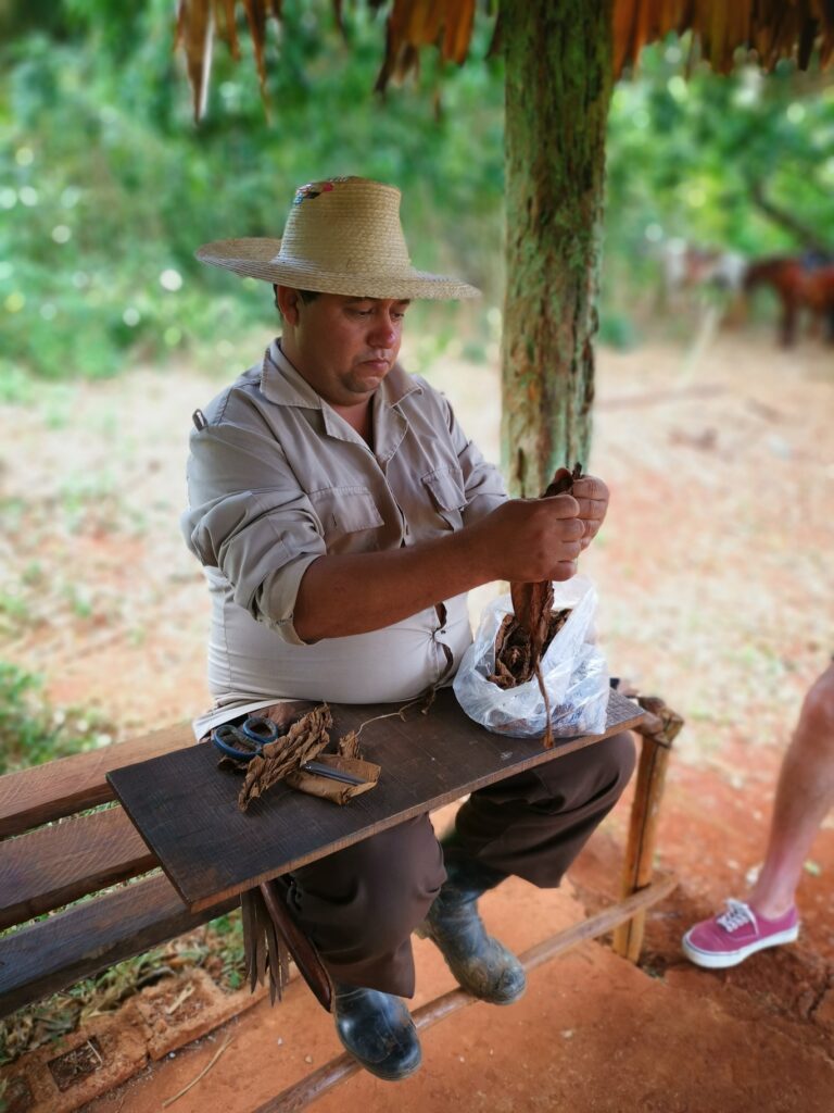
    The horse riding excursion in the valley of Viñales it’s one of the main attraction and you can’t miss it, if you are not staying for many days in this area of Cuba, the horseback tour of the valley needs to be in the top of your to do list.If you love nature’s beautiful landscapes, this place won’t disappoint you! This was by far one of the highlights of our trip, experiencing the authentic rural farming life of this part of Cuba.The owner of our casa particular arranged for us a 4 hours horseback ride through the valley and tobacco plantations for $20 CUC ($20 US). We had the most fun, interesting and breathtaking time and absolutely loved learning about the rural Cuban way of life. We visited a tobacco farm, rolled our own cigars and smoked it, visited a coffee plantation, drank rum, and explored the beautiful tobacco valley. It was incredible value for money as well, highly recommend for anyone visiting Viñales.Even if you don’t smoke cigars and don’t love to ride a horse (my fiancé’ and our friend were walking behind us😊) you will love it anyway, the local farmer told us about the tobacco growth cycles and they explained the process that happens from when the seeds are first planted, to the tobacco leaves rolled into cigars, and also told us the law that they have in place for the cigars, basically they have to sell 90% of the tobacco they grow to the government, and are allowed to only keep 10% for their own personal use or for selling to tourists. After the incredible ride, we stopped at the bar of a coffee plantation farm for a demo of the coffee bean process and tasting, we also had fresh fruit juices before making our way back during the spectacular colours of the golden hours. Ah, maybe you don’t want to wear white trainers if you are walking, the terrain is red sand, don’t do like my fiancé that had to get rid of her shoes and socks afterwards :). 

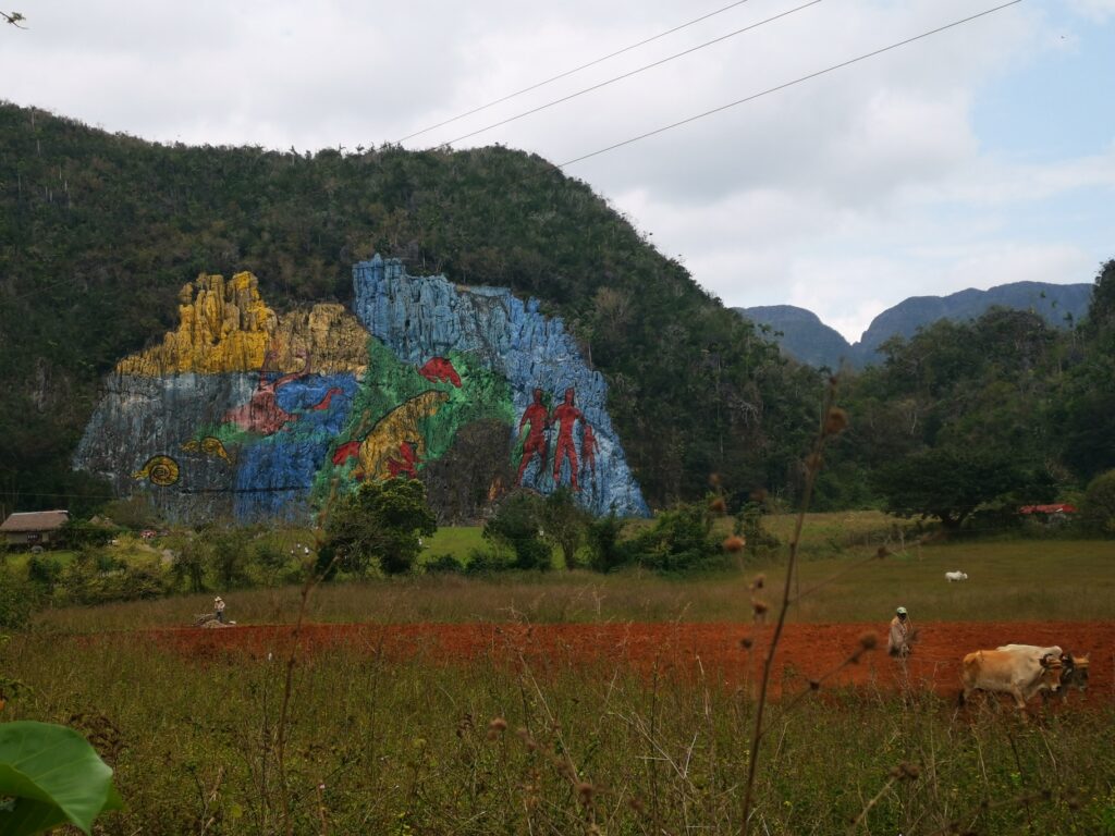
    El Mural de la Prehistoria,Viñales

    Farm in Viñales valley

    Tobacco farm

    Viñales valley horse riding excursion

    Cigars making lesson

    Tailor-made

    Want this trip, made for you?

    I’ll design your trip to Cuba — the route, the right hotels and the experiences that matter, around your dates.

    Written by Graziano
    Travel designer & photographer

    Photo gallery

    Viñales valley through my lens

  • Swimming with sea turtles in Barbados

    Swimming with sea turtles in Barbados

    Destinations › Travel stories

    Swimming with sea turtles in Barbados

    Where to find them along the west coast, from Carlisle Bay to Paynes Bay.

    Where to Swim with Sea Turtles in barbados?

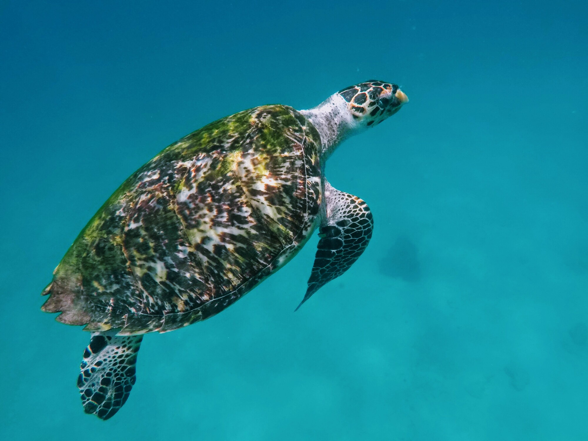
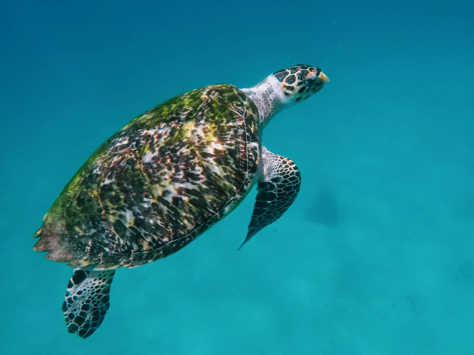
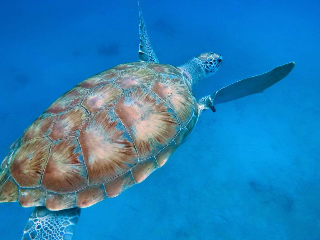
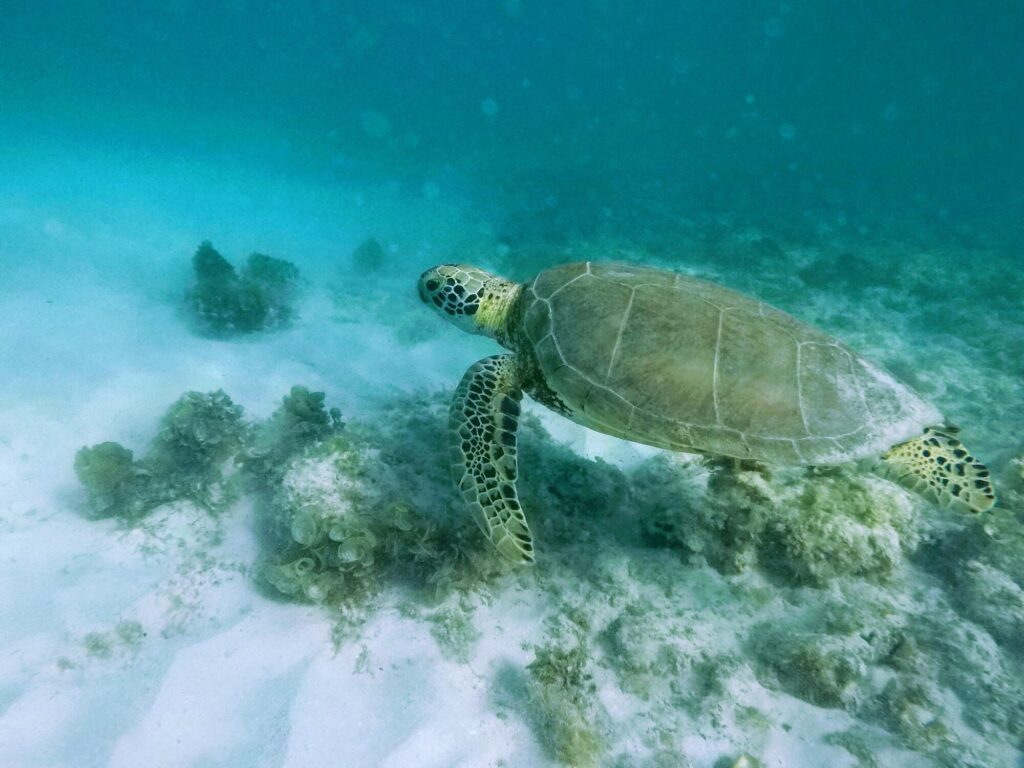
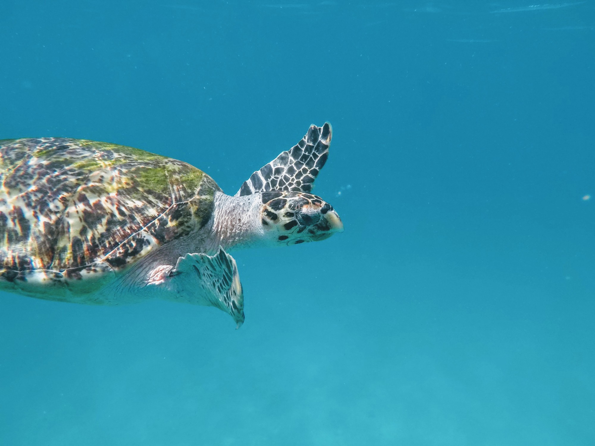
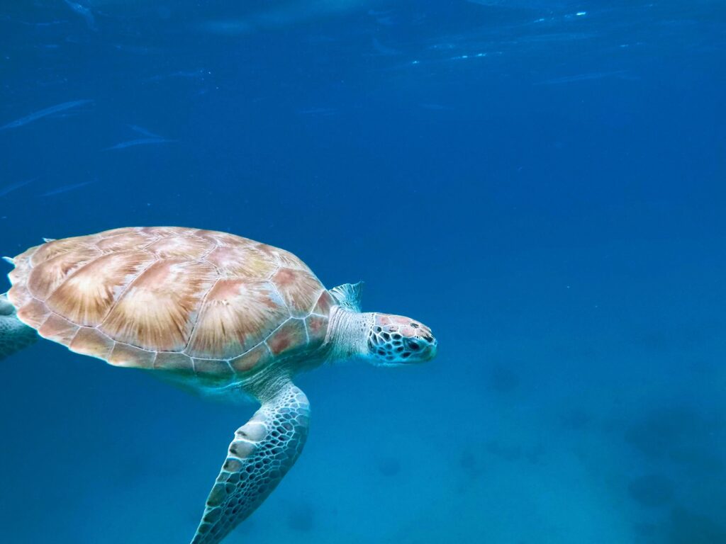
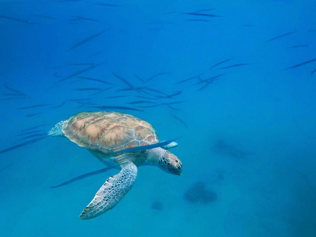
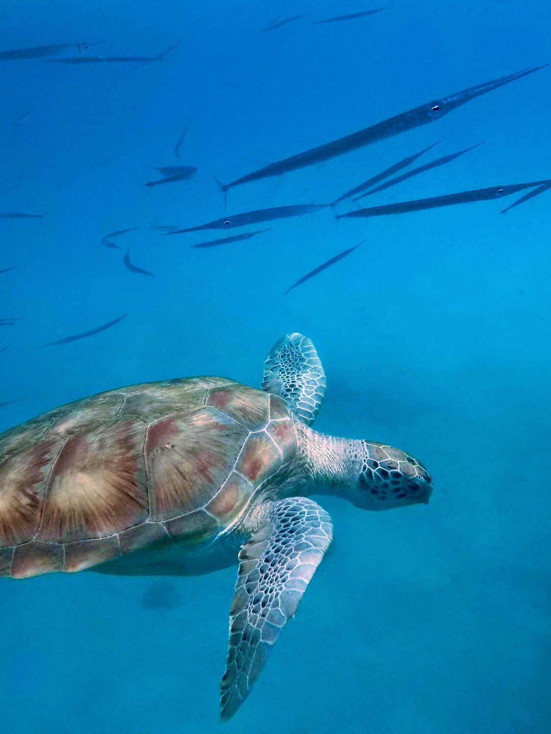
    Barbados is home to beautiful blue beaches and lots of sea turtles such as the Hawksbill turtle, Leatherback turtle, and the most popular green turtle. Swimming with the turtles is a popular activity to do in Barbados, for both locals and visitors. It makes an excellent experience and a ‘must-do’ activity during your time on the island.On the west coast of the island and especially in Carlisle Bay, you will find the best spots to see turtles, other nice spots are Paynes Bay and Alleyne’s Bay.The good news is that you don’t need to book a catamaran cruise to go swimming with turtles in Barbados, you can find them in many beaches along the west coast. Some of them are slightly further out than others and for that reason locals organized boat tour of one or two hours to show you the best spots.From 1998, the Government of Barbados made it illegal to catch any species of sea turtle in Barbados, as well as possess any kind of turtle product such as their shells and eggs. It is a severe offense in Barbados, so please keep this in mind during your stay on the island.

    Carlisle Bay & Brownes Beach

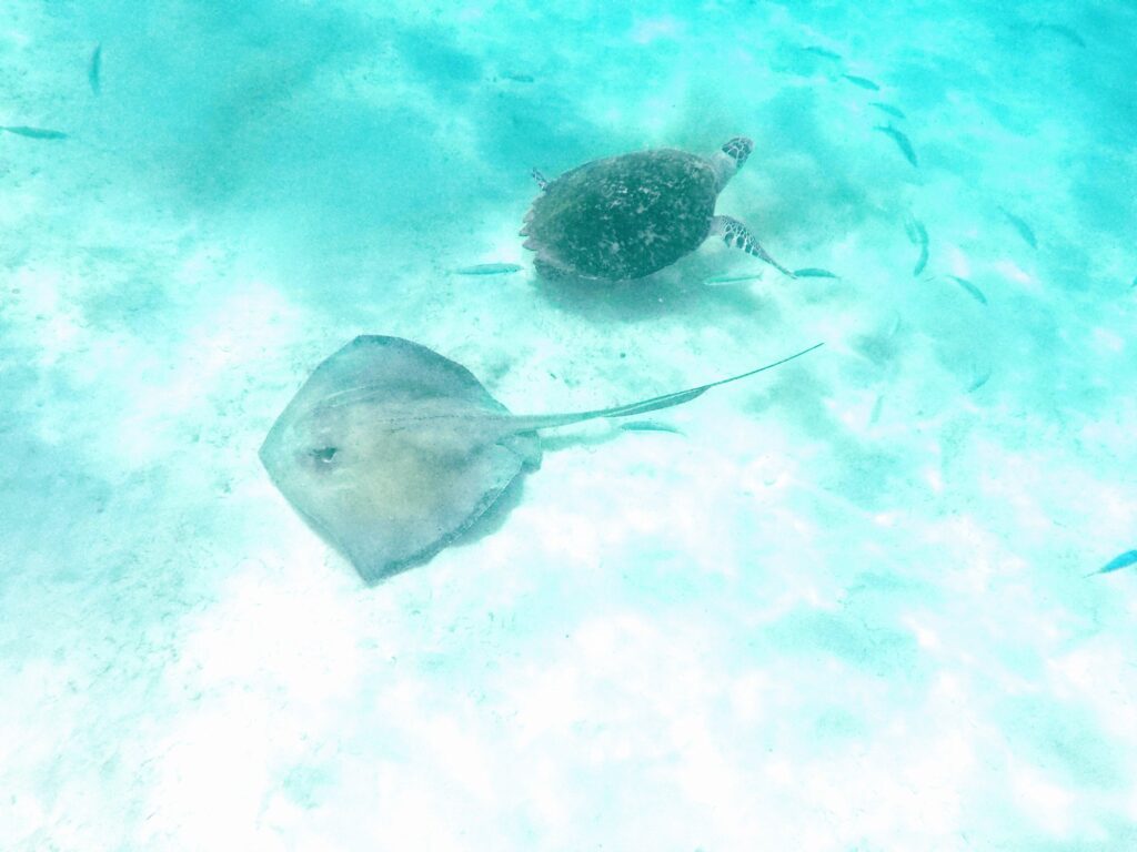
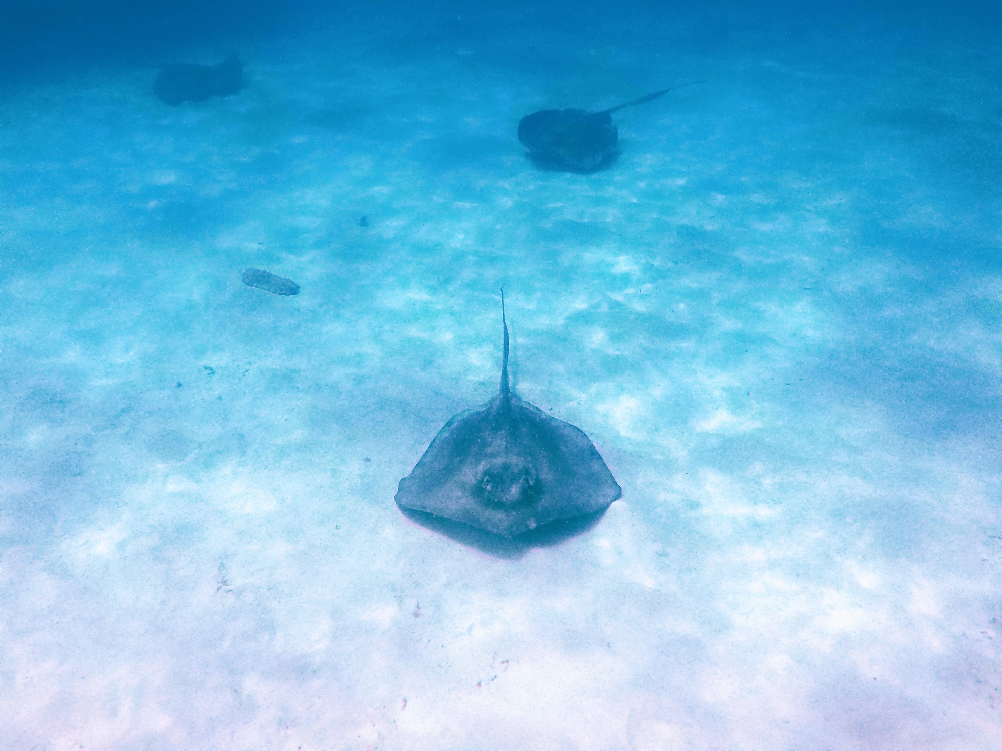
    My favourite part of the Island is Brownes beach in Carlisle Bay, is the best spot to see huge turtles, rays and starfish. You can join a tour of 2 hours organized by the locals on the beach or if you don’t mind to swim for a while you can easily reach the best spot from the beach by yourself. I took so many pics and videos of the turtles, they are fantastic creatures. If you are spending the day at Brownes beach and Pebbles beach, you can spend some time swimming with sea turtles here, you will love it. Swim out carefully, there are lots of boats in the area. There are also a few ship wrecks slightly further out but it is recommended to go with a group since the area is busy. The hawksbill turtles, the green turtles and leatherback sea turtles call Barbados home, as this is where they do their feeding and nesting. Due to the calmness of these West Coast waters and the friendliness of the sea turtles, visitors are able to swim freely with them, just make sure to respect their space and don’t touch them. Sea turtles have always been locals to the island, and over the years, they have started to become an endangered species. For this reason the Barbados Sea Turtle Project was started in 1987, to restore local marine turtle populations to levels at which they can fulfil their ecological roles while still providing opportunities for sustainable use by the people of Barbados, and to support similar efforts in other countries of the Caribbean.Each species also plays a specific role to protect the marine environment of the island: the Hawksbill turtles help to keep coral reefs healthy by feeding on sea sponges which, the Green turtles graze on sea grasses making nutrient-rich new growth available to other grazing species, and the Leatherback turtles help to keep pelagic fish populations healthy by controlling the abundance of jellyfish which, if left unchecked, would decimate populations of fish larvae. Tourists love the chance to swim with turtles, and have the chance to interact with sea turtles is one of the many special characteristics that attract visitors to Barbados.

    Tailor-made

    Want this trip, made for you?

    I’ll design your trip to your dream island — the route, the right hotels and the experiences that matter, around your dates.

    Written by Graziano
    Travel designer & photographer

    Photo gallery

    A paradise of Turtles through my lens
  • Petra & Wadi Rum

    Petra & Wadi Rum

    Destinations › Asia & Middle East › Jordan

    Petra & Wadi Rum

    How to visit Petra, a night in the Wadi Rum desert, and the best time to go.

    How to get here?

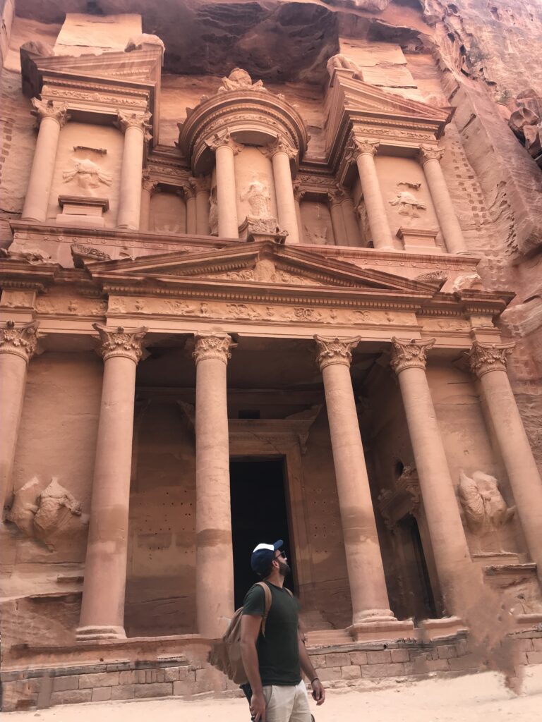
    The Petra Archaeological Park is a three hours drive from the city of Amman and two hours from the Red Sea port of Aqaba and Eilat/Aqaba border crossing from Israel. We planned a 2 days trip in Jordan to discover the magic of Petra, we joined a Petra & Wadi Rum 2 Day Tour from Jerusalem, where we were staying, with “Tourist Israel”, they picked up us in our hotel very early in the morning around 3am and we came back the night after around midnight, so two full days of fantastic experience between Israel and Jordan. Another option if you don’t want to join an organized tour, is to rent a car and cross the border on your own (but might be a bit more difficult at the border).Reducing the visit of Petra to a single day can be rushed. Remember that Petra spreads out for over a hundred square miles – four times the size of Manhattan. The best is to stay 2 days, we only stayed 1 day because we didn’t have enough time to sleep in Petra (we choose to spend the second night in Wadi Rum desert). It is a site full of history, and crazy great views. The red colour of the mountains is just amazing, around 80 per cent of the tourists stops at the first sight (the Treasury, where the movie “Indiana Jones” was shot), but keep going! Remember to protect yourself from the sun and the eyes from the sun, and bring a lot of water!

    Discovering Petra

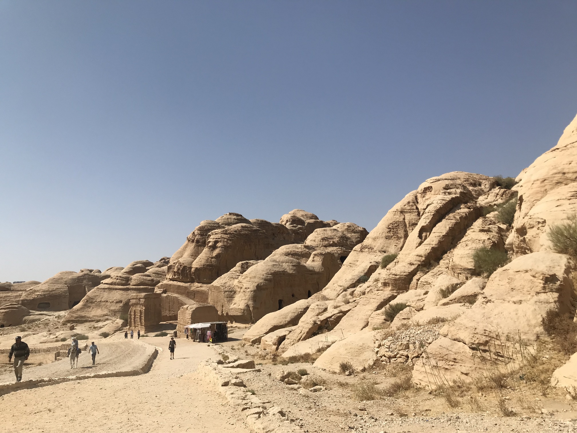
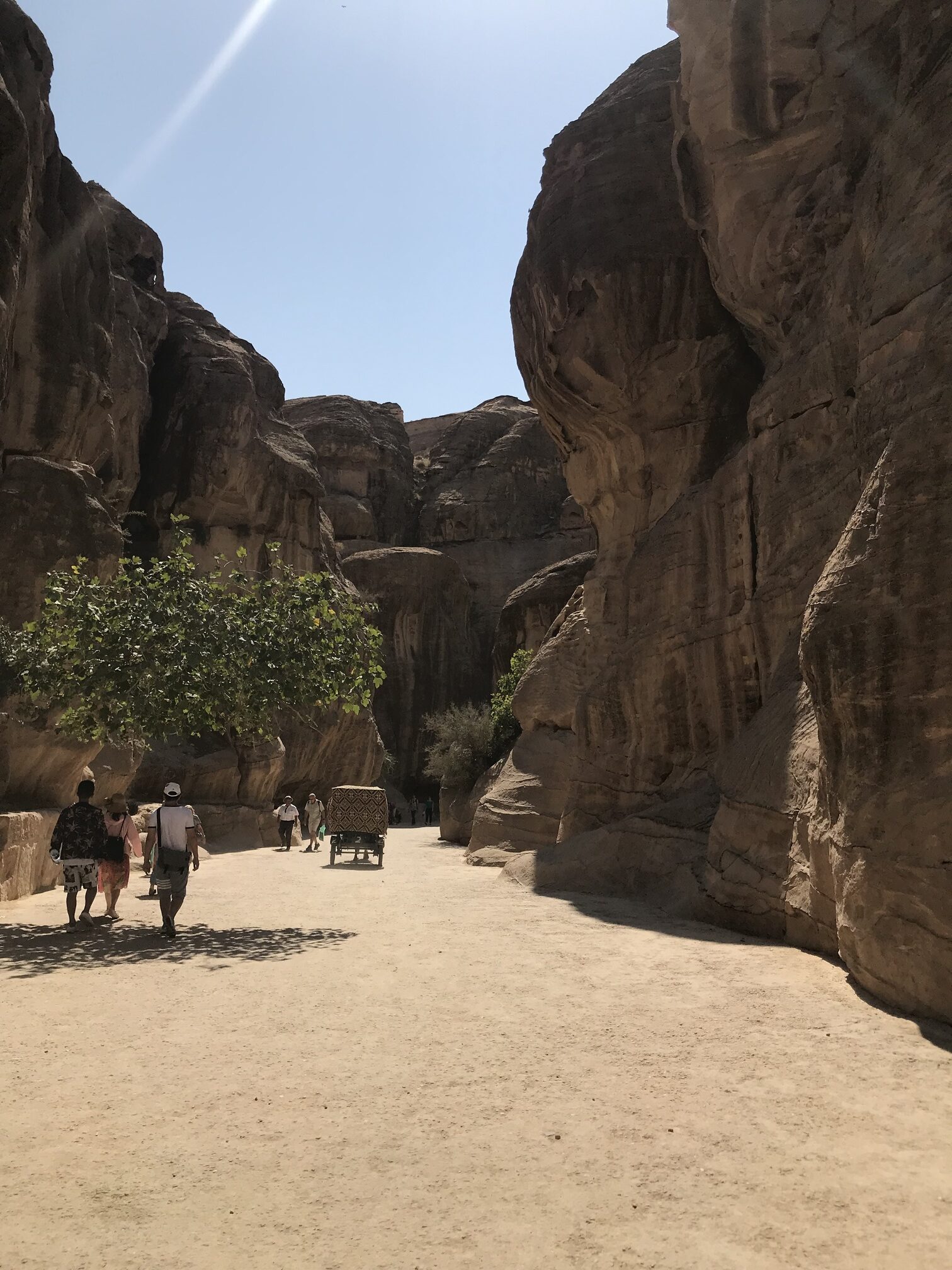
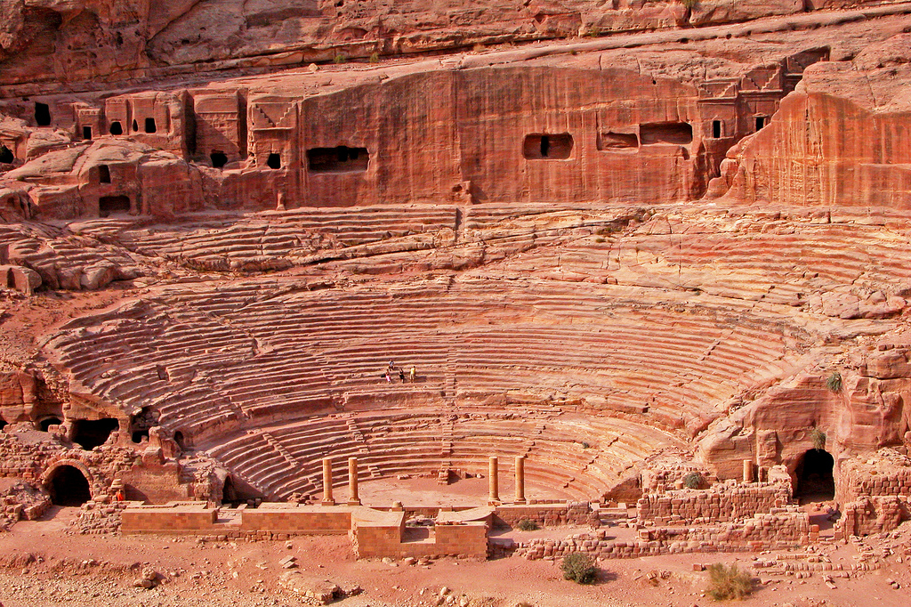
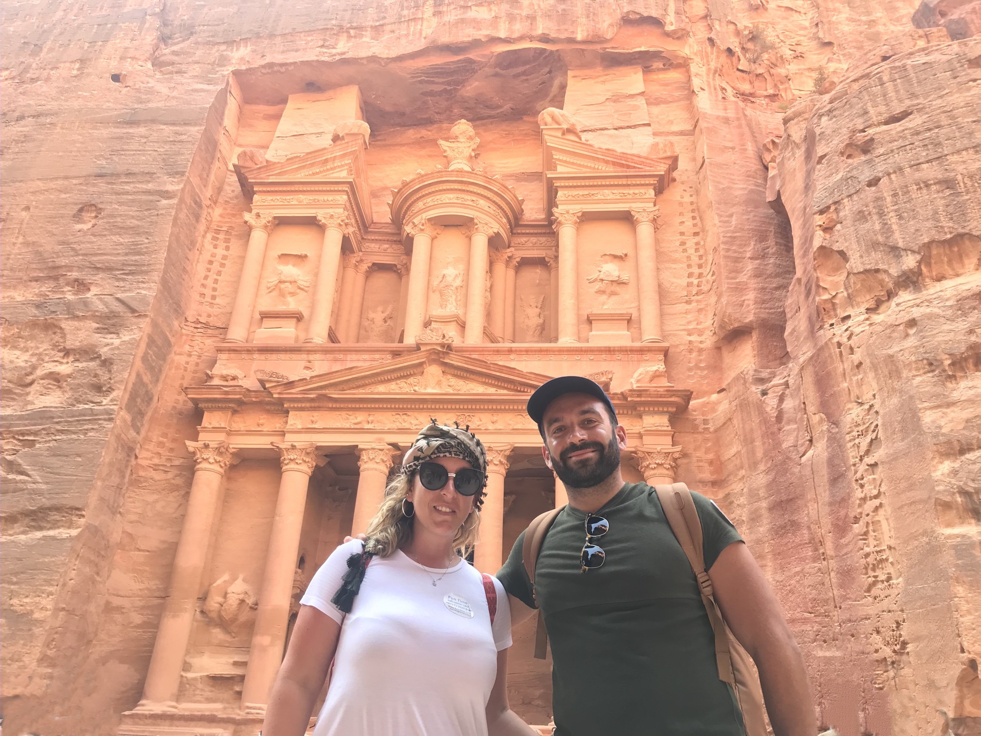
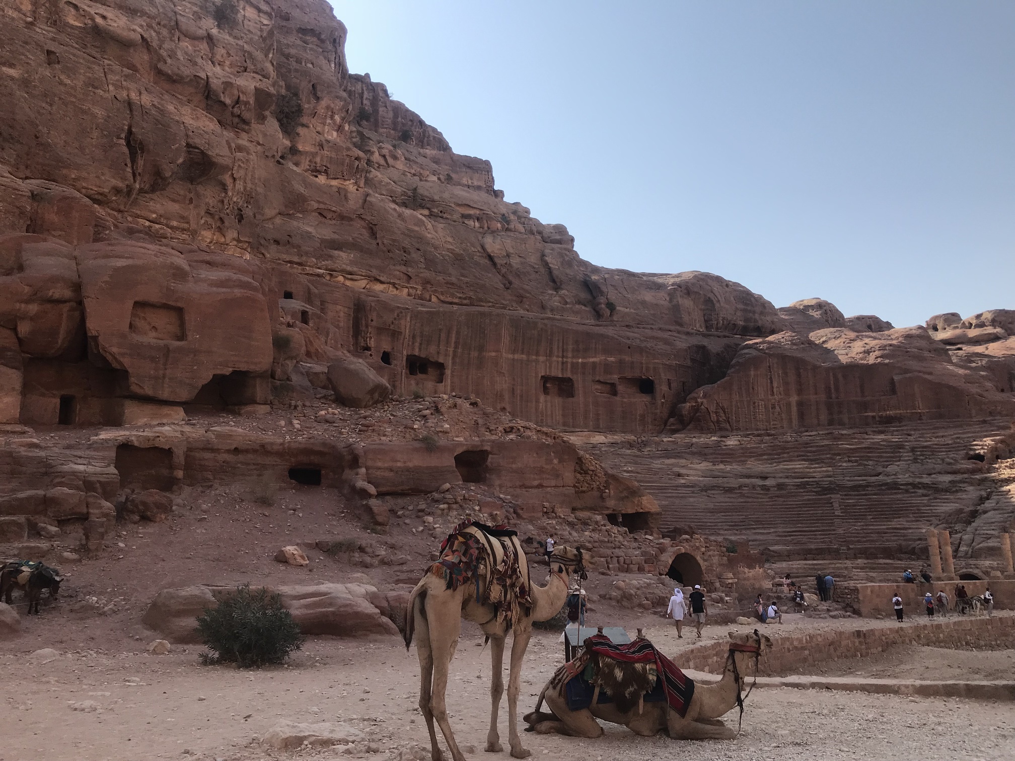
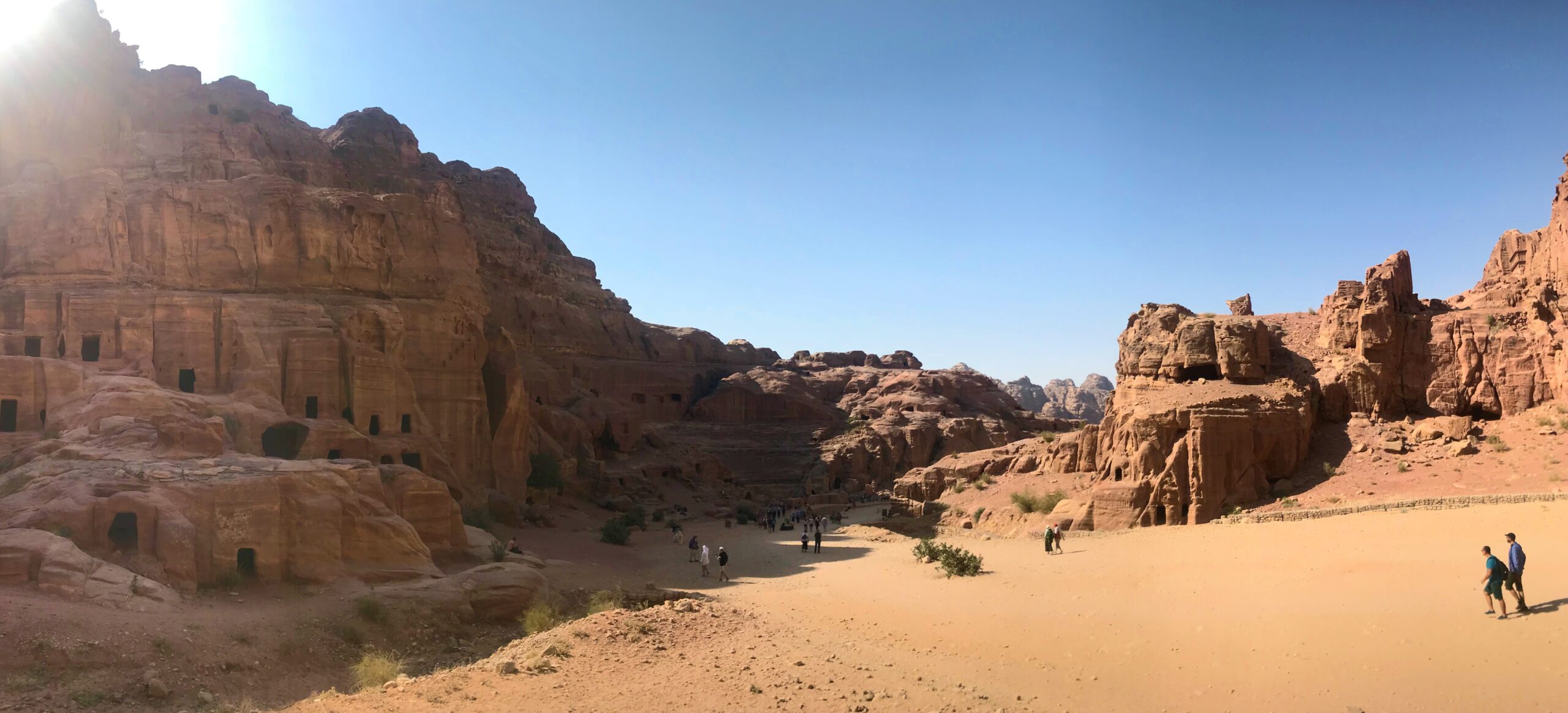
    The magnificent ruins of ancient Petra occupy a high plateau that rises out of Wadi Mousa, the Valley of Moses, in south-western Jordan. This is one of the most magical places on Earth, make sure you have enough time because the site is huge. The entrance to Petra is actually one of the biggest highlights of the experience. You’ll walk through a narrow, imposing canyon, made of smooth, sculpted rocks that guide you to the hidden city. It starts from The Siq, the main road that leads to the city, and ends at the Treasury. The main part of the Siq is created by natural rock formation and the rest was carved by the Nabataeans and decorated with Nabataean sculptures, mostly representing gods – In 300 B.C., Nabataean invaders captured the city of Petra, the Nabataeans controlled the East-West trade routes between the Mediterranean Sea and Arabia, Syria, and Egypt. Their taxes on passing caravans generated immense wealth for Petra, which was reflected in monumental sculpture and architecture throughout the city. Petra also possessed a system of channels, dams, and cisterns that enabled its desert existence and tempered the harmful effects of flash flooding. The Siq opens up onto Petra’s most magnificent façade, the Treasury, one of the most stunning things I’ve ever seen, a dream come true! In this area you can take many gorgeous pictures, from the top of the hills (fantastic views), and with the camels. Just few hundred meters after the Treasury, you will find the Theatre, this site gives a sense of just how imposing and vibrant the city was. The last and the farthest site to visit is the Monastery, there are more than 800 steps through the hills to reach it, but the experience is worth the journey.

    Overnight in Wadi Rum desert

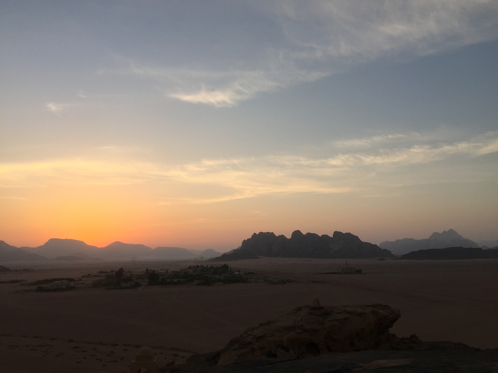
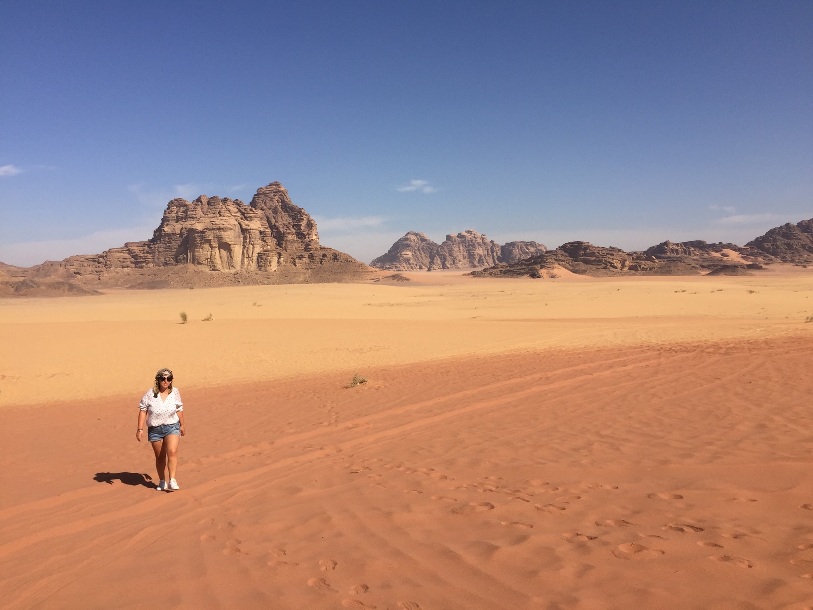
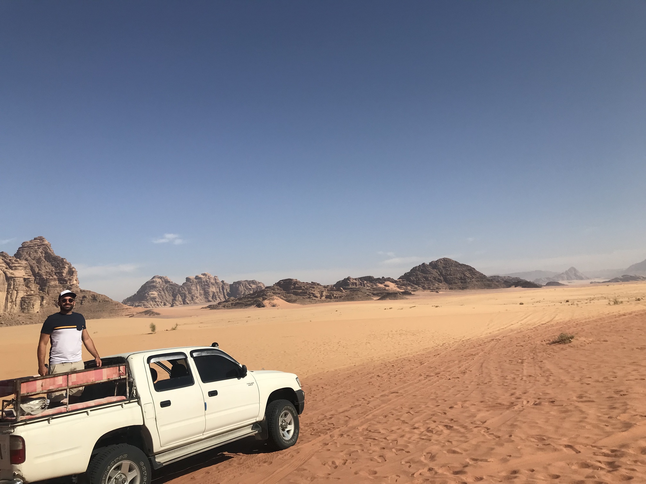
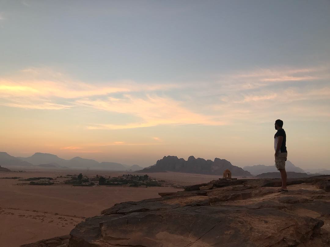
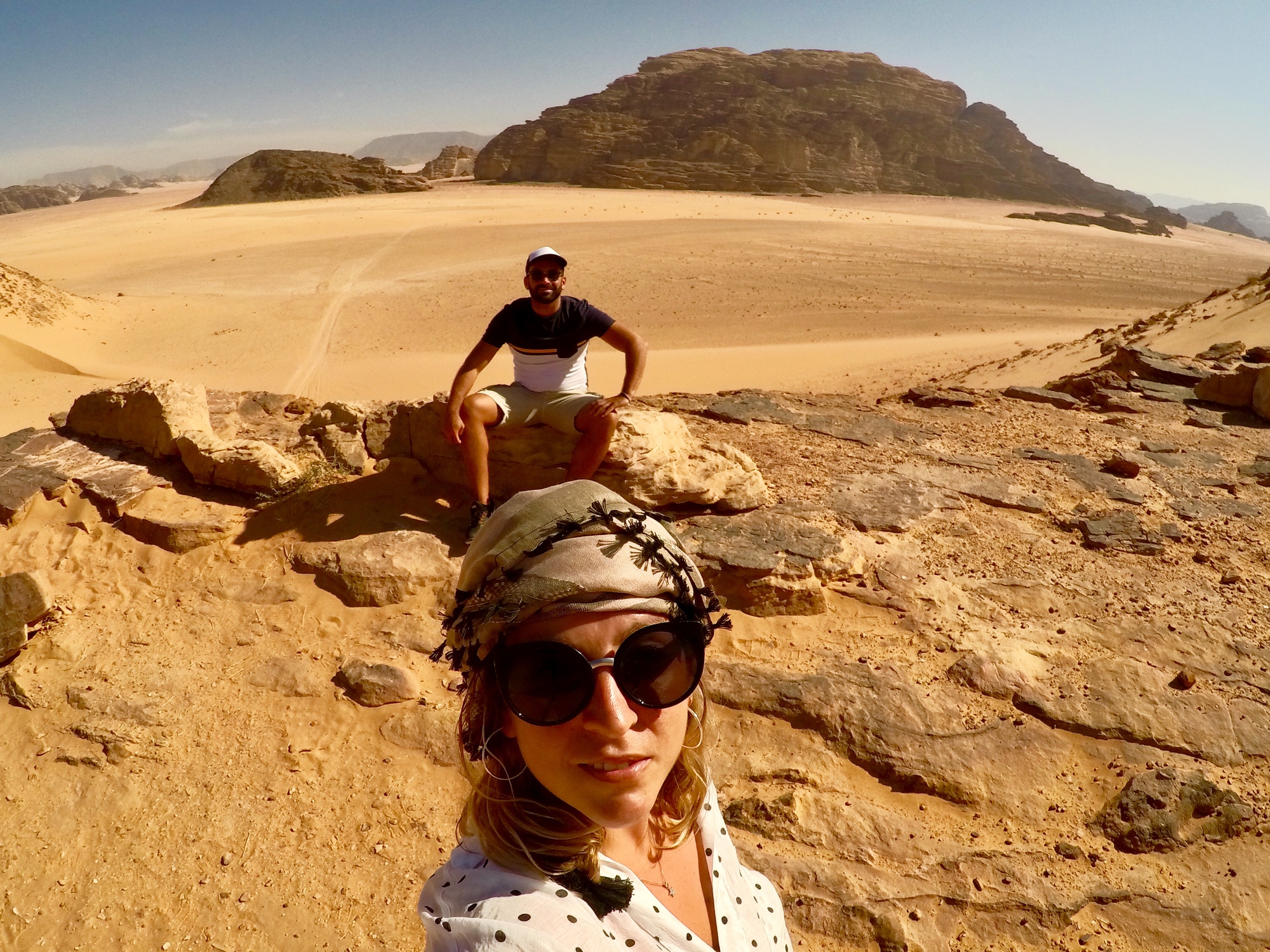
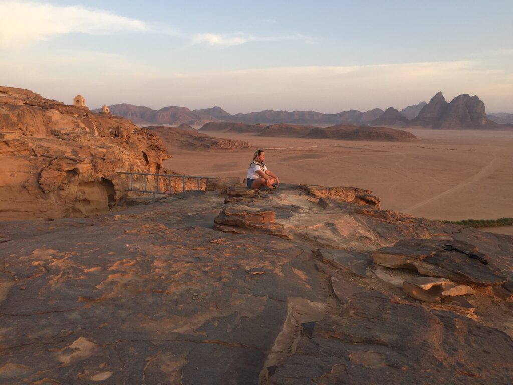
    Wadi Rum, known also as the Valley of the Moon, is a valley cut into the sandstone and granite rock in southern Jordan, 60 km to the east of Aqaba. One of the most spectacular natural environments in the Middle East, the desert scenery of Wadi Rum is a major highlight of a visit to Jordan. After visiting Petra, we continued our trip to the Wadi Rum Desert and checked in into the Bedouin Campsite in the middle of the desert. Enjoy the sunset in the evening and the fabulous sky full of stars in the night, if you can. Try to get up early in the morning to enjoy the sunrise, you won’t regret it. The next morning we did a Jeep Safari tour (was included in 

    the package) with a local Bedouin. They took us in the deep desert, the landscape was fantastic, they brought us in some hidden spot, was really magic. Popular activities in the desert environment include 4×4 tours, camel rides, hiking and rock-climbing among the massive rock formations. The area has been used as a background setting in a number of film, the scenery really looks like Mars, one of the most recent movies was The Martian with Matt Damon.If you love the desert and have time, you could spend two nights in Wadi Rum, the feeling that you get when you sleep in this place is unbelievable, and this kind of landscape are not easy to find somewhere else.

    Tailor-made

    Want this trip, made for you?

    I’ll design your trip to Jordan — the route, the right hotels and the experiences that matter, around your dates.

    Written by Graziano
    Travel designer & photographer

    Photo gallery

    Petra Archaeological Park through my lens
  • A weekend in Malta

    A weekend in Malta

    Destinations › Europe › Malta

    A weekend in Malta

    Valletta, Mdina and the blue lagoon of Comino.

    an attractive island in the middle of the Mediterranean sea full of charm

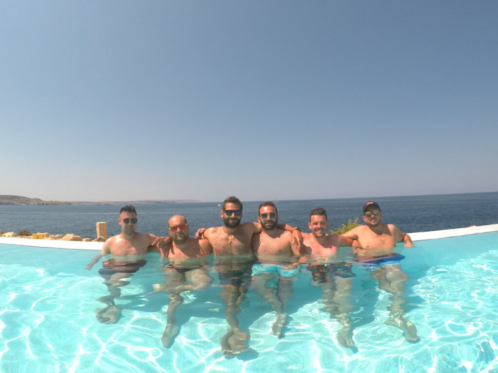
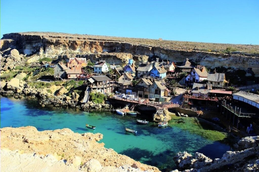
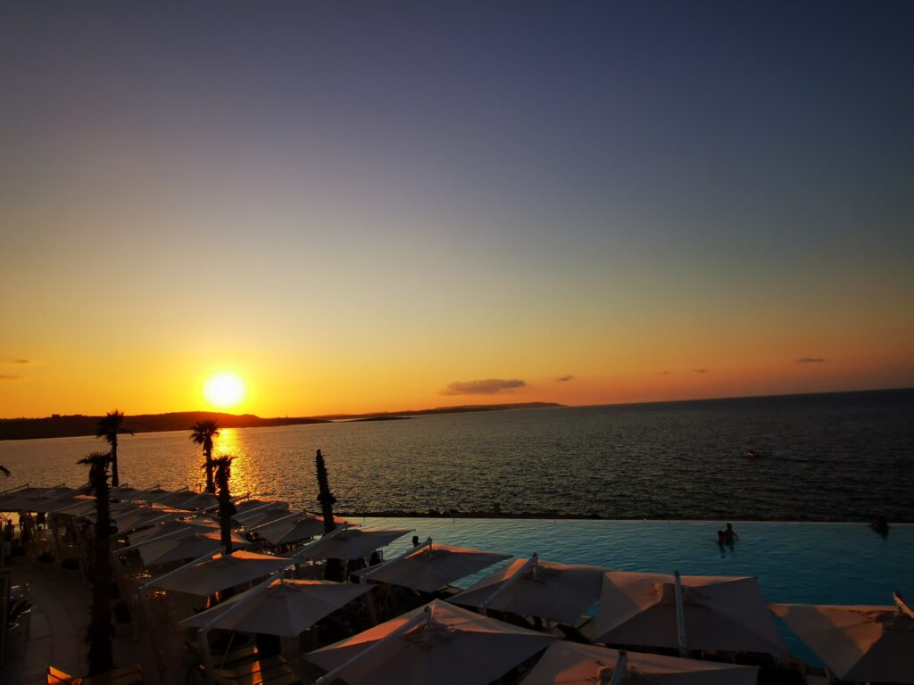
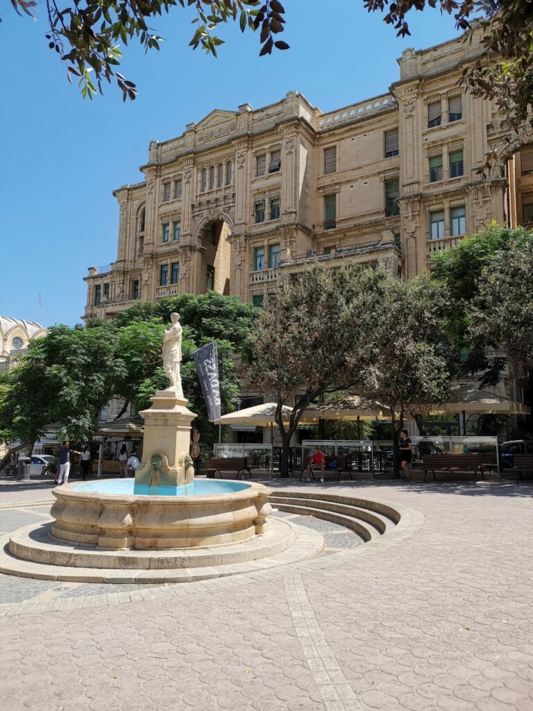
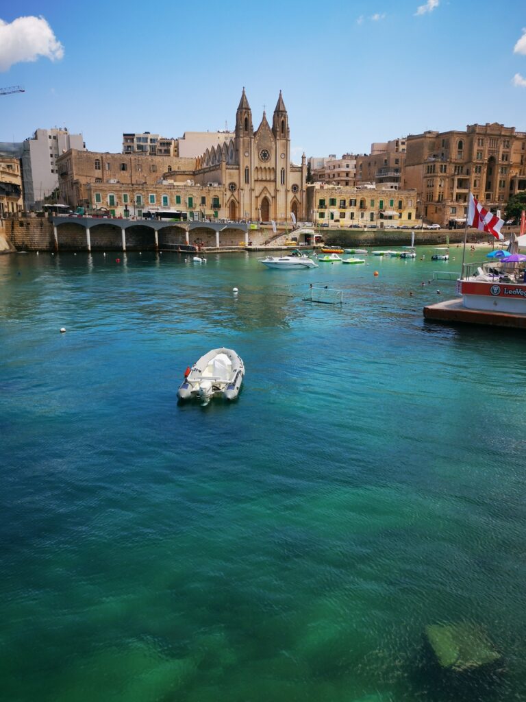
    Do you want to visit Malta for your next trip? Great choice!A small archipelago in the Mediterranean Sea, between Sicily, Greece and North Africa, made up of seven islands, however, only three are inhabited: Malta, Gozo and Comino. Malta, being the largest and most popular of all the islands, is where the Malta International Airport is situated. The Maltese Islands benefit from an average of 300 days of sun every year, this means you can take advantage of the island’s all year round. Spring, early summer and the end of the summer, April, May, June and September are the best time to visit Malta. The weather is not extremely hot and there are less tourists around.I visited the beautiful islands of Malta and Comino in summer 2019, with few friends for three fantastic days. We were based ten minutes’ walk from Balluta Bay, in St Julian’s, the position was perfect, we could walk easily everywhere in the area. When you walk around Malta you will see a mixture of Medieval, Baroque and Victorian buildings and beautiful churches, Church of Our Lady of Mount Carmel between St Julian and Silema is very nice, a beautiful church in the middle of the bay. One of my favourite place of Malta is Café Del Mar, the sunset by the pool is one of the most beautiful view you will ever see. Another stop to do in island of Malta is Popeye Village, is located in the North-Western part of Malta, close to Mellieha. This village was entirely built for the set of the movie “Popeye”, shot in 1980. To build this set, trees were imported from Canada to build the houses, once the shooting was over, they decided to keep everything intact and now, it’s a theme park.Maltese beaches are for every type of swimmer, you can find nice sandy beaches and fantastic rocky shores all around the islands.

    Exploring Comino island

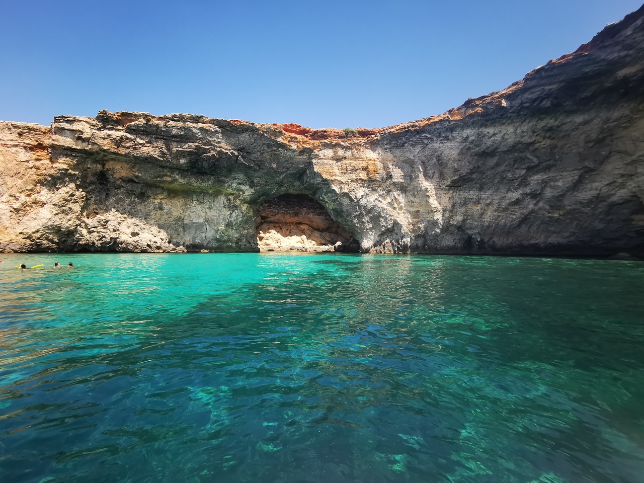
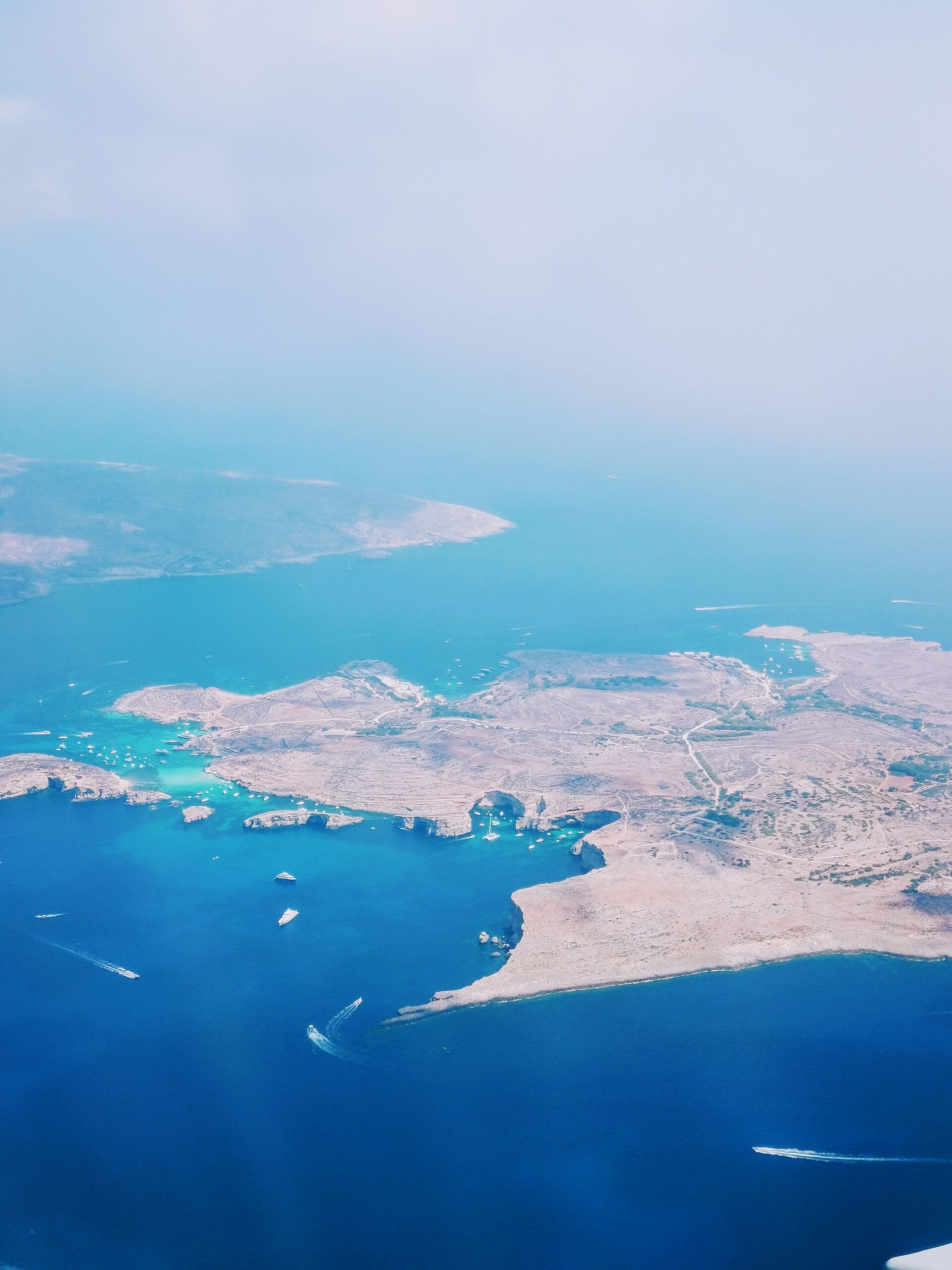
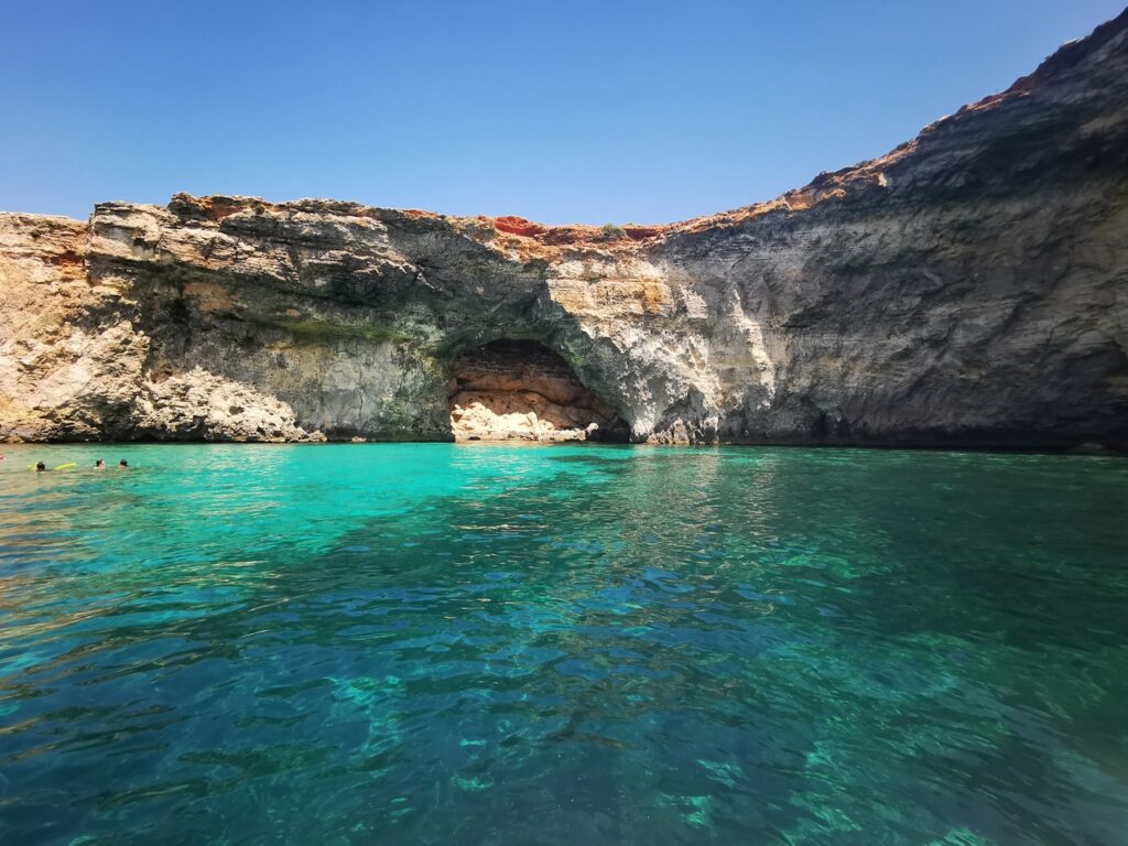
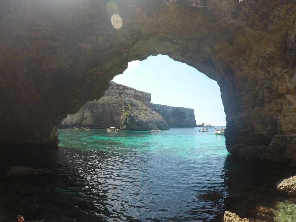
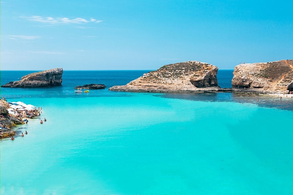
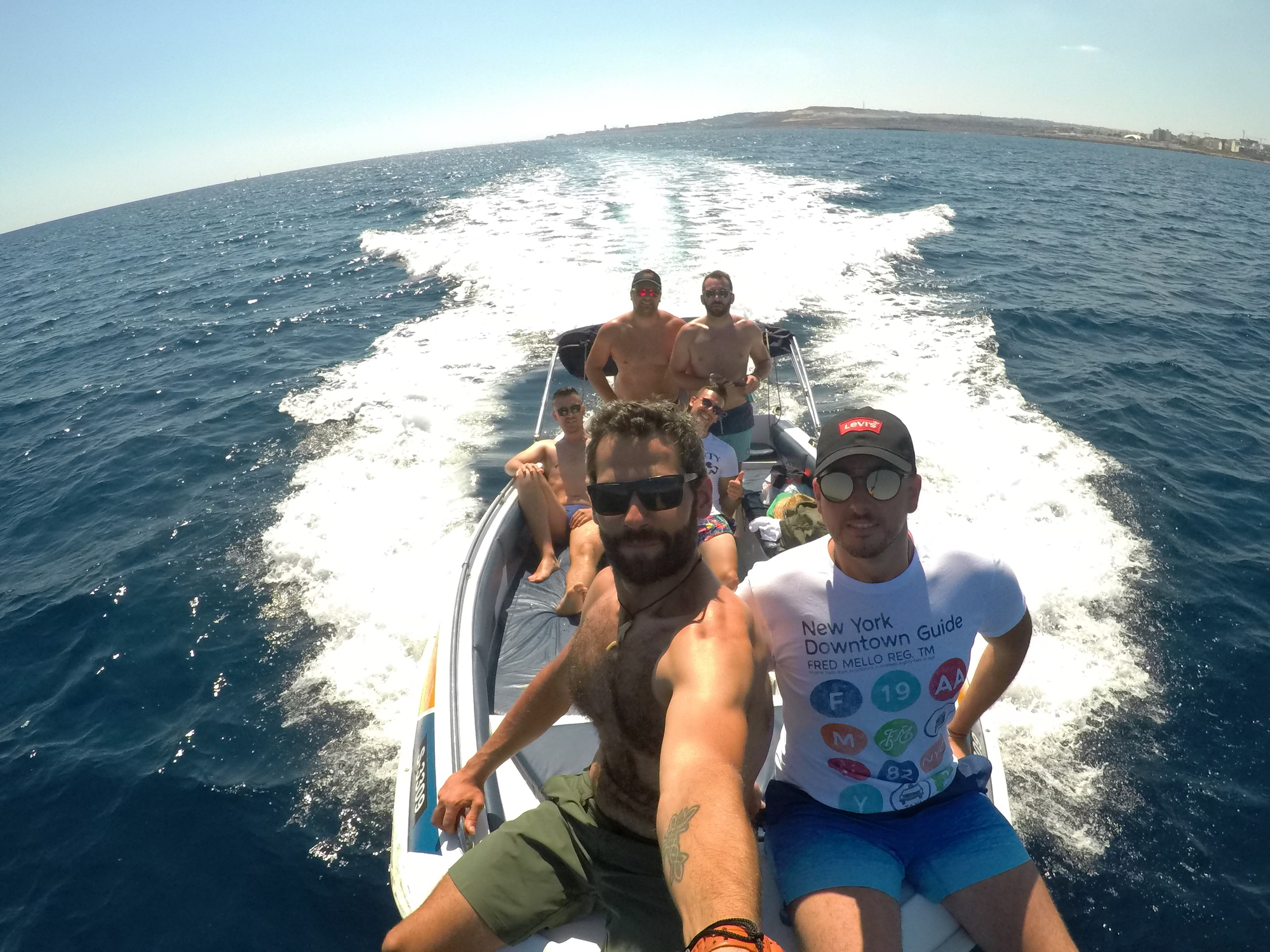
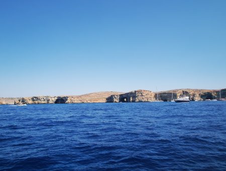
    Comino is a tiny island located between Malta and Gozo island. Here you will find the most beautiful and famous beach of the archipelago, the Blue Lagoon, a stunning lagoon with turquoise water.Every day, shuttle boats and boat toura come and go from Malta/Gozo to Comino to bring tourists to swim in the lagoon. The lagoon is the main attraction of the island. For visit the fantastic lagoon, we hired a private boat from Balluta Bay for a day trip just for our self, that gave us the freedom to stop wherever we want to. Being six people wasn’t too expensive hired the boat, and it give us an incredible experience that you will not get going with a shuttle boat.Blue lagoon tips:– Get there early to make the most of the time when the Blue Lagoon is less crowded.– Avoid the weekends, when local visitors add to the throngs of tourists.– Discover with a short walk other beaches and places of interest in Comino.– Stay within the swimming zone to avoid injury from boats.– The Blue Lagoon is definitely one of the things you can’t miss in Malta.

    Comino island

    Café Del Mar

    Popeye Village

    Café Del Mar sunset

    St Julian’s

    Balluta Bay Beach,St Julian’s

    Tailor-made

    Want this trip, made for you?

    I’ll design your trip to Malta — the route, the right hotels and the experiences that matter, around your dates.

    Written by Graziano
    Travel designer & photographer

    Photo gallery

    A weekend in Malta through my lens
  • Monti Sibillini National Park

    Monti Sibillini National Park

    Destinations › Europe › Italy

    Monti Sibillini National Park

    Mountain lakes, flower fields and hiking trails in the heart of the Apennines.

    Exploring the sibillini national park

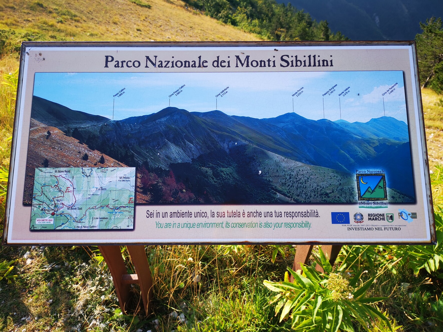
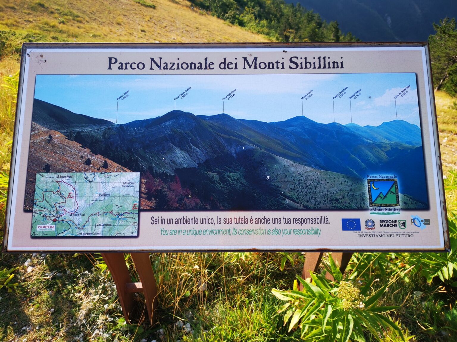
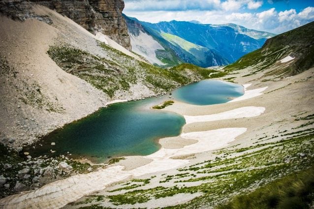
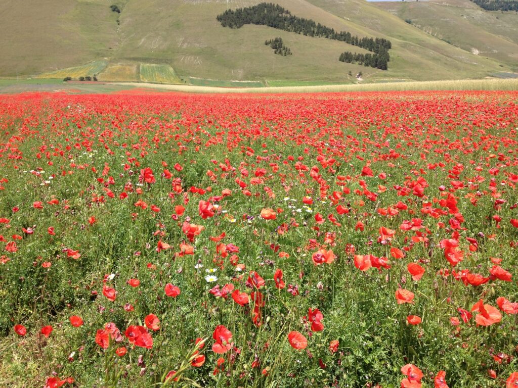
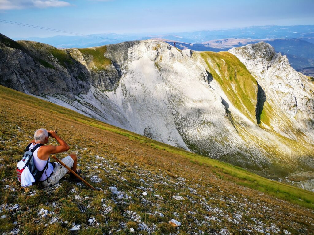
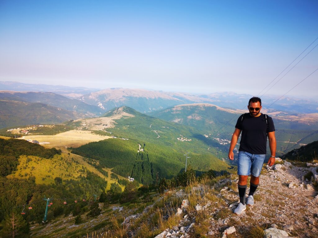
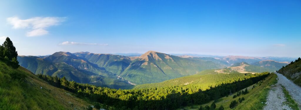
    The Monti Sibillini National Park, dominated by Mount Vettore (2,476 mt), has been established in 1993, it extends for about 70.000 hectares between Umbria and Marche, it’s the paradise for hikers and climbers, the perfect destination for adventures into the wilderness.There are plenty of places to see and visit in this area, the Park is home of some outstanding natural sights, and beautiful towns such as Visso, Ussita, Norcia and Castelluccio.Among the many things to do and see, I recommend you my favourite three places that I think you should not miss:Mount Vettore and Lake Pilato: the highest mountain of the Park, here you can find fantastic paths and the glacial Pilato Lake, the water is really limpid and clear, but is strictly forbidden to touch the water and have a bath. The reason is that if you get too much close to the water you could squash the eggs of a rare creature: the Chirocefalo dei Marchesoni (a red little shrimp that lives only in this lake).Castelluccio di Norcia: Very famous for their flowering, if you are in this area between mid-May and mid-July, you can admire the fields of lentils and poppies bloom, the views from the top of the hill are fantastic. The Gorges of Infernaccio: offer the hiker a breath-taking landscape, they are natural gorges formed by the river Tenna. These are located in the municipality of Montefortino in the province of Fermo, and are among the most picturesque gorges in the Umbria-Marche Apennines.The Infernaccio Gorge is a popular place for walking, especially for the refreshment offered by it during the summer months. From here you can visit the hidden waterfall, the source of the River Tenna and the Hermitage of San Leonardo. In order to arrive at the starting point of the Infernaccio gorge path, you’ll need to take the location of Rubbiano as a reference, near Montefortino town.

    Lake Fiastra & Lame Rosse

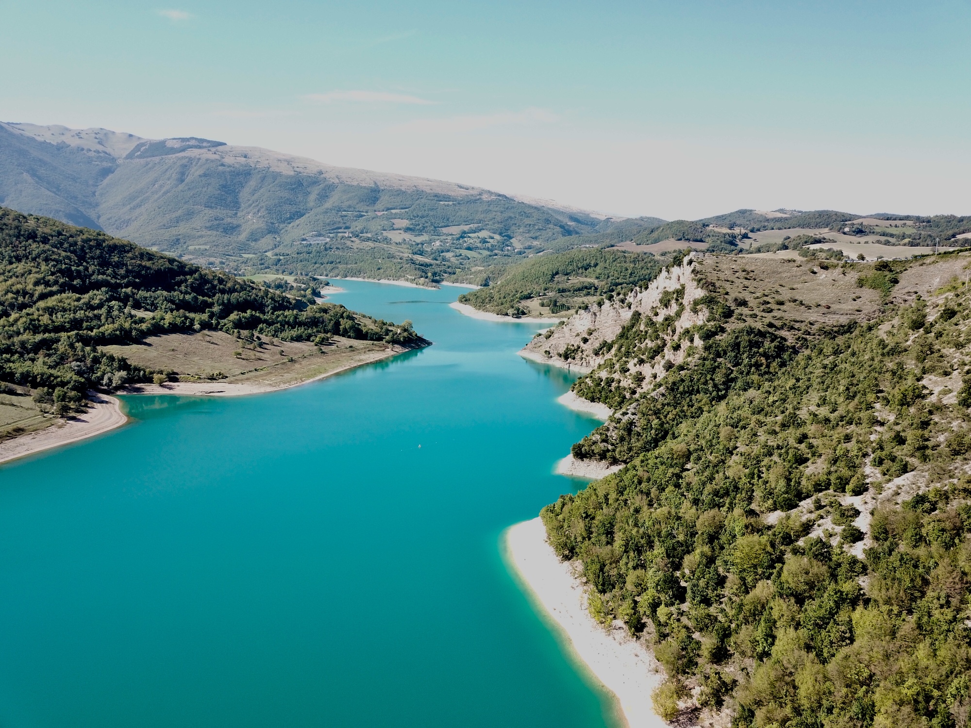
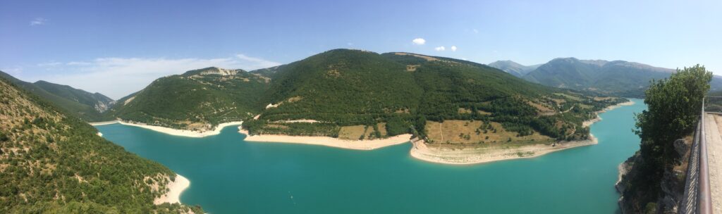
    Lake Fiastra is definitely a place to discover if you are spending time in Le Marche, located about 70 kilometres southwest of Ancona. It’s an artificial lake with clear blue waters that reflect the surrounding mountains located inland the Monti Sibillini. It’s a beautiful place to spend some time in relaxation, but is also the base to explore the neighbours towns.After a few days of exploring Le Marche, hiking in the Sibillini Mountains or shopping at local outlet stores it’s time to take a break, switch off and relax. With a wonderful drive through the mountains to get to this lake, where you can swim, take boat rides and enjoy the peace that this valley has to offer you. If you’re visiting in the summer, when the temperature can reach over 30 degrees, then nothing can beat a dip in this refreshing lake.Lake Fiastra is only a short drive from the beautiful, medieval villages of San Ginesio, Caldarola and the town of Sarnano. If you have some time to spare they are great places to stop and explore.The best and must view to see of the lake, is the panoramic view from above, from the village of Ruffella, there is an amazing terrace overlooking the lake, it’s the best spot.Just next to the lake, you can find one of the most famous and fascinating places in the Sibillini Mountains, the Lame Rosse. Their unusual and unique shape, is due to the long and slow wind erosion over a period of millions of years, they are the Grand Canyon of the Marche, a truly unique place of this region. The round trip path is around 8km and will take you around 3 hours of hike from Lake Fiastra to arrive to the rock formations. They are really beautiful and look like something you would see in Utah or Arizona in the western United States. The trail leading up to the formations is not too difficult, just remember to bring some water and a snacks as there are no bars or shops around.

    Monte Bove

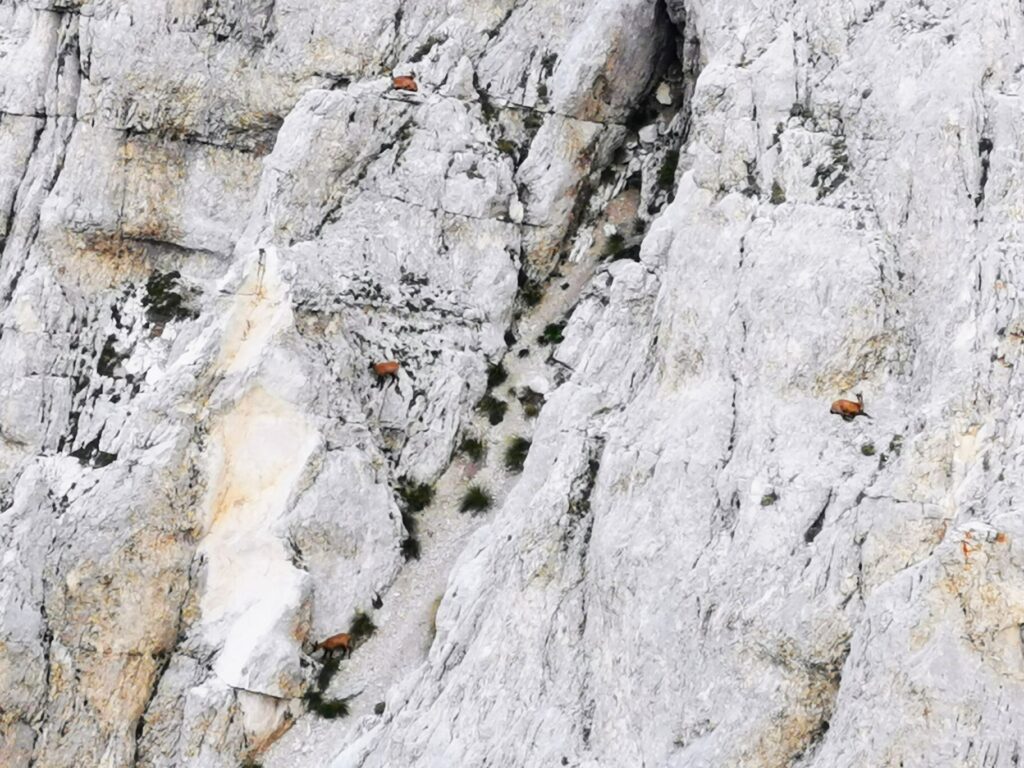
    Chamois,Monte Bove

    Lake Pilato 1,941 meter,Monte Vettore

    Castelluccio di Norcia annual flowering

    Monte Bove path

    Lake Fiastra terrace

    Tailor-made

    Want this trip, made for you?

    I’ll design your trip to Le Marche — the route, the right hotels and the experiences that matter, around your dates.

    Written by Graziano
    Travel designer & photographer

    Photo gallery

    Mt. Sibillini National Park through my lens
  • 3 days in the heart of Italy

    3 days in the heart of Italy

    Destinations › Europe › Italy

    3 days in the heart of Italy

    A long weekend between Umbria, Lazio and Tuscany: Civita di Bagnoregio, Lake Bolsena and the hot springs.

    TheLionVoyager

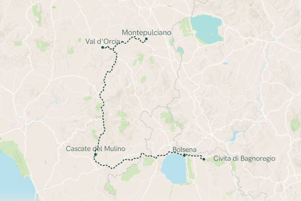
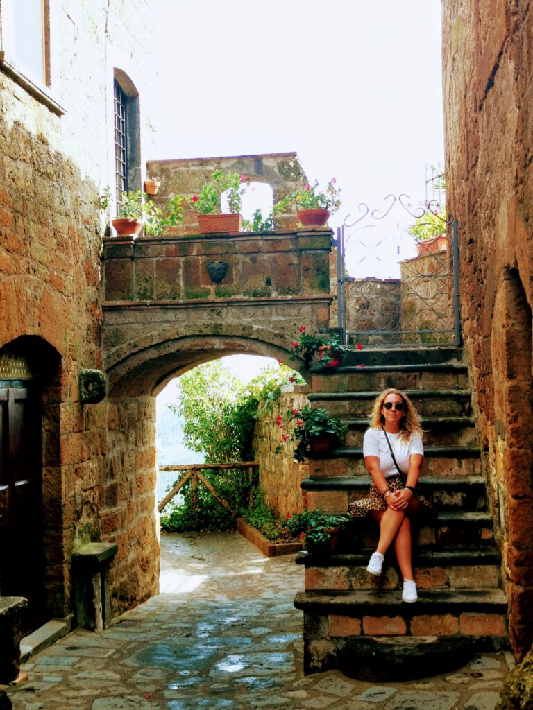
    I created this fantastic 3 days itinerary in the heart of Italy between Umbria, Lazio and Tuscany based on a weekend that I’ve done while a was home in August 2020. The best starting point if you are flying into Italy is Perugia airport, and from there you can start exploring.

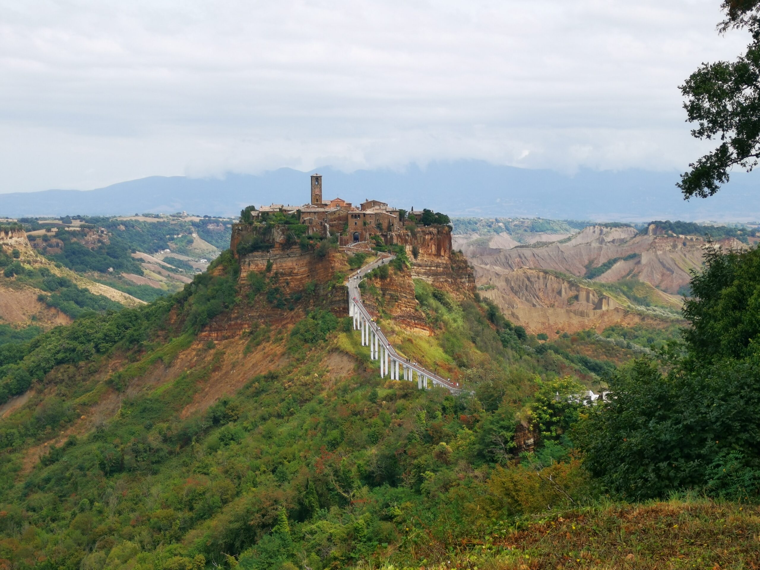
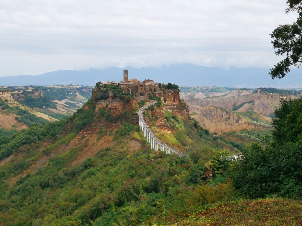
    Day 1: Land at Perugia Airport and hire a car (will be quite hard to go around without one). Just 1 hour drive from the airport your first stop will be Civita di Bagnoregio – “The Dying Town”, very beautiful town to visit. The second stop of the day will be Bolsena, a fantastic city by the lake – (sleep in Bolsena).

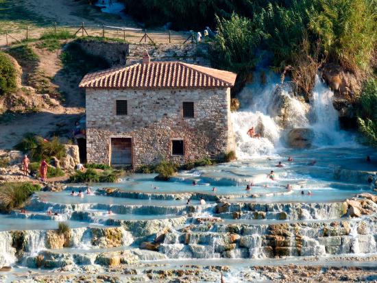
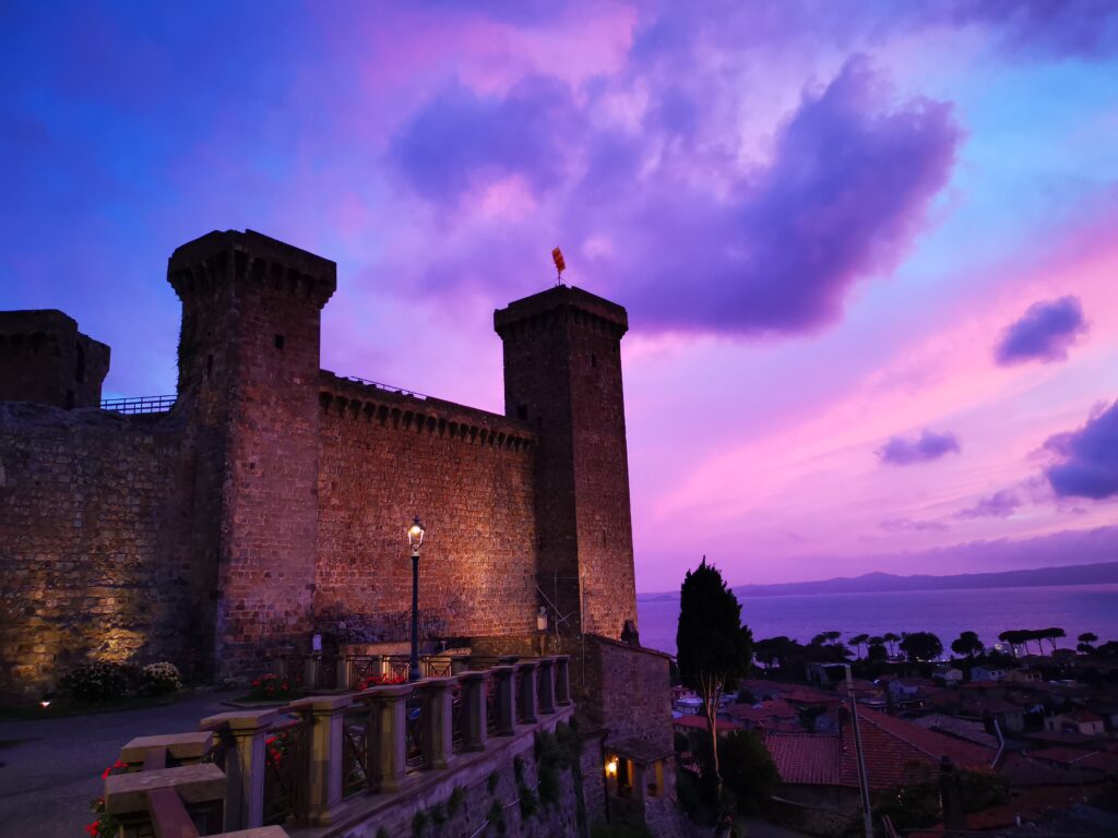
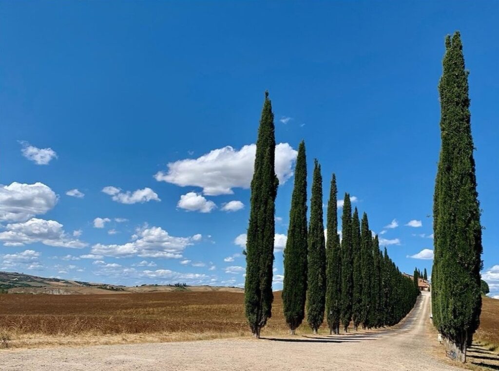
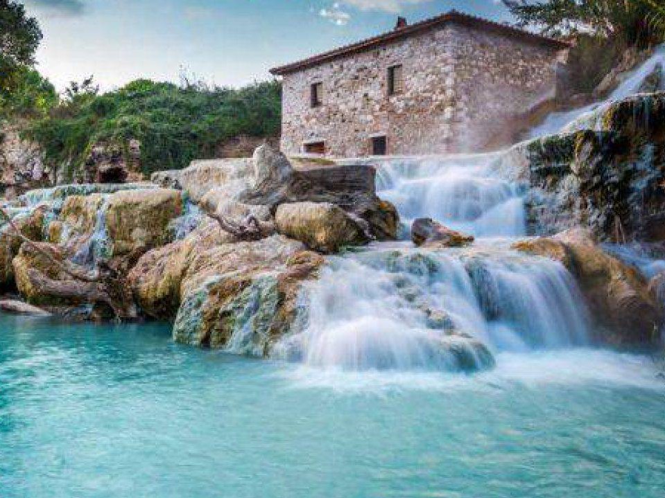
    Day 2: If you didn’t have time to visit the city the day before, you can start the day with a nice walk exploring this gorgeous medieval town by the lake with a fantastic view from the Castle.  Next destination will be the Cascate del Mulino in Saturnia, where you can spend few hours relaxing in the sulphurous spring water, and all this is for free. In Saturnia you can visit as well the thermal bath.In the afternoon you can start to visit the fantastic landscape and villages of the region of Val d’Orcia such as the Chapel Vitaleta, Bagno Vignoni, Pienza, Bagni San Filippo, San Quirico d’Orcia, Montalcino and the most beautiful and most photographed streets with cypress trees are those of Monticchiello and La Foce  – (sleep around Val d’Orcia).

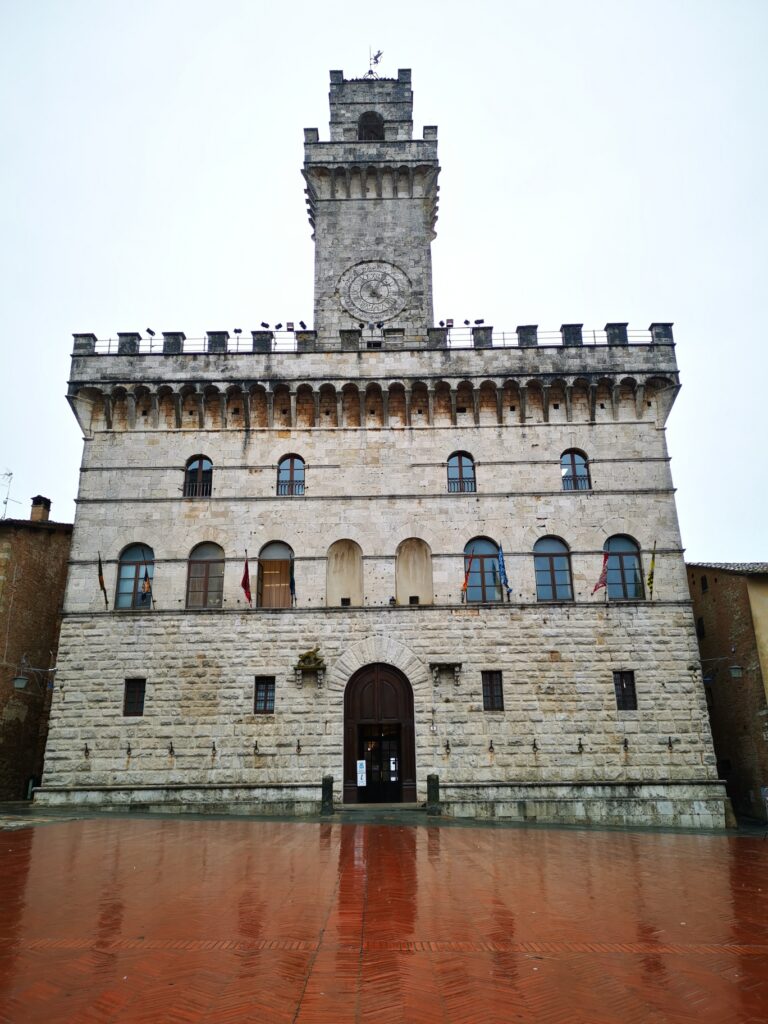
    Day 3: Visit of Val d’Orcia region and Montepulciano town then start the way back to Perugia Airport (around 1 hour drive).

    Cascate del Mulino in Saturnia

    This is a fantastic place to visit but if you can try to avoid the Peak Season or Saturdays and Sundays, when it gets very busy

    Val d’Orcia region, the paradise for photographer

    While you are exploring this part of Tuscany, try to discover every part of it. The best way to travel around the valley is by car, so that you can be flexible especially during the very early morning or sunset hours, which is often the best time to enjoy the views of the valley.

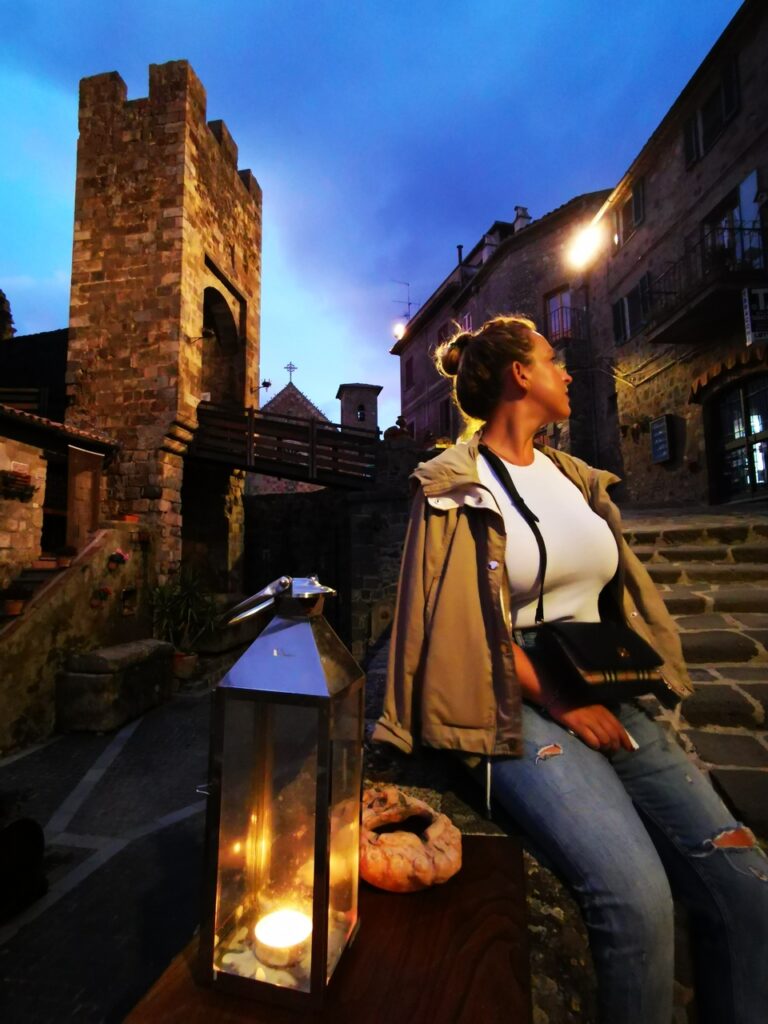
    Enjoy the view of Bolsena lake

    While in Bolsena, a walk on top of the hill is a must, you can enjoy the view of the lake at sunset time with a glass of wine.

    Cascate del Mulino,Saturnia

    Civita di Bagnoregio view

    Rocca Monaldeschi,Bolsena

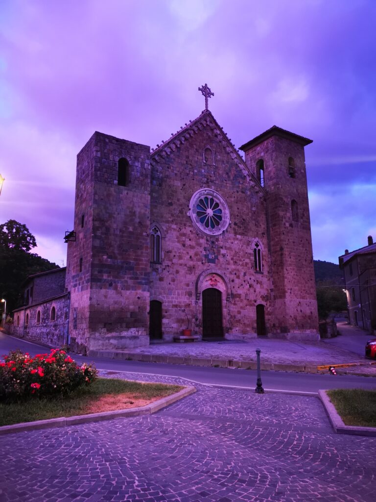
    San Salvatore church,Bolsena

    Civita di Bagnoregio town

    Piazza Grande,Montepulciano

    Val d’Orcia region

    Bolsena town

    Tailor-made

    Want this trip, made for you?

    I’ll design your trip to Italy — the route, the right hotels and the experiences that matter, around your dates.

    Written by Graziano
    Travel designer & photographer

    Photo gallery

    3 days trip in the heart of Italy through my lens
  • Monte Conero Natural Park

    Monte Conero Natural Park

    Destinations › Europe › Italy
    Monte Conero Natural Park

    Hidden coves and white cliffs on Italy’s Adriatic coast.
    How to get here?

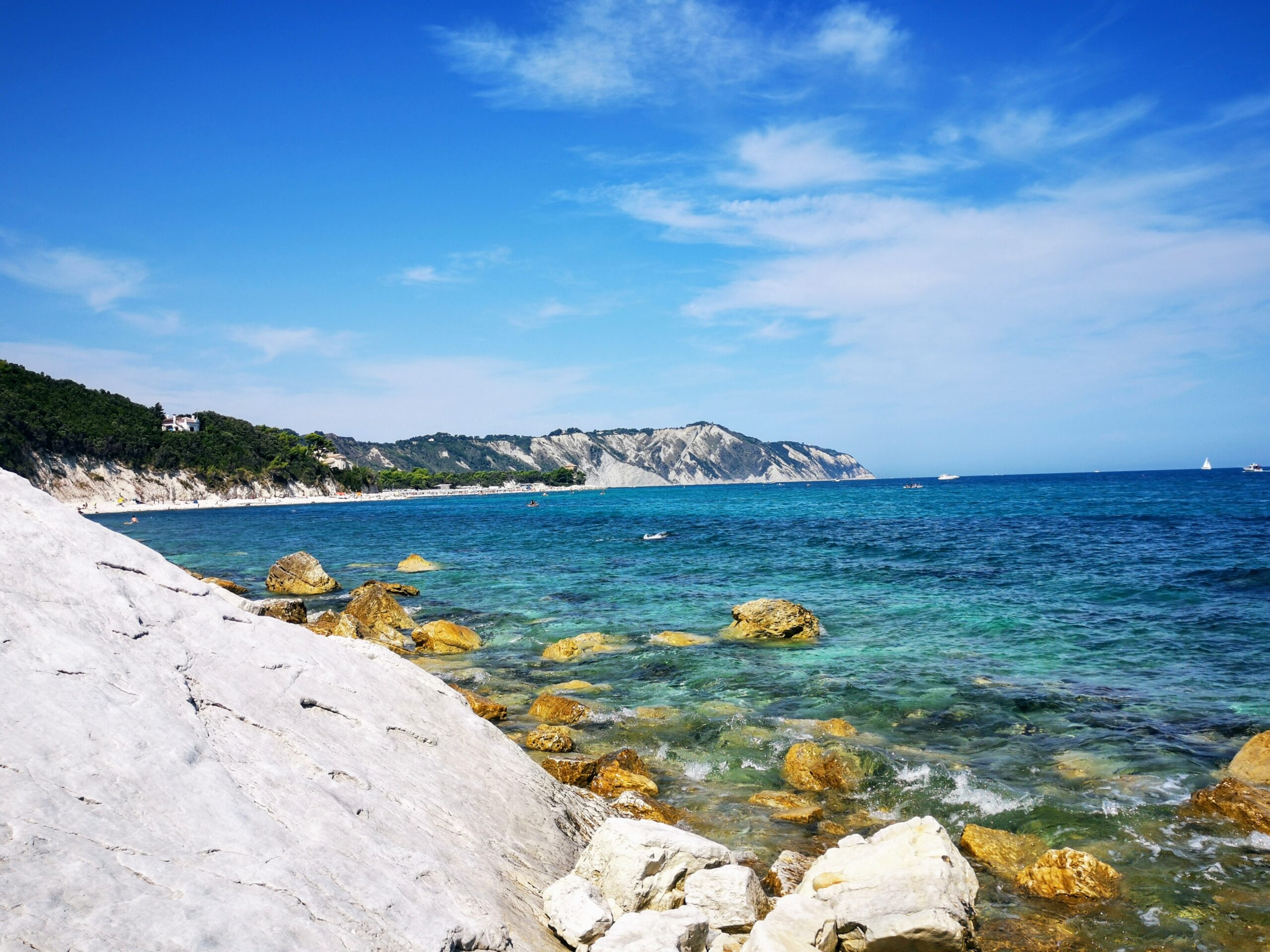
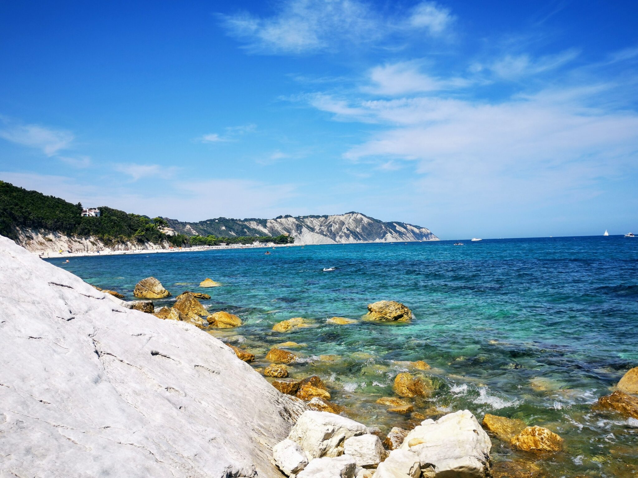
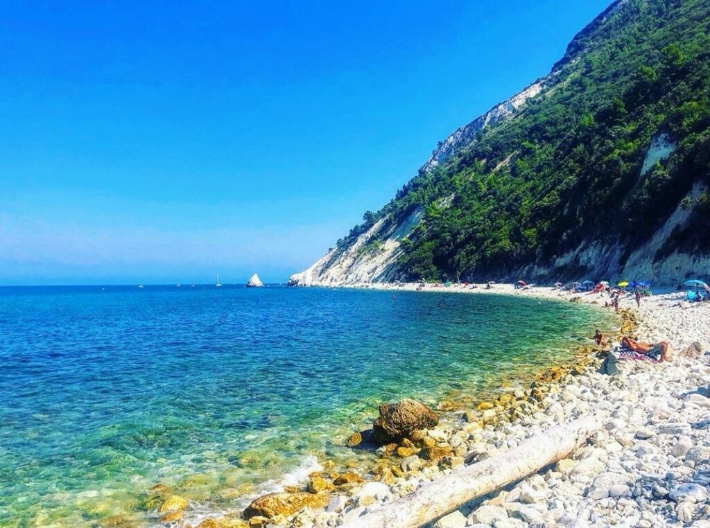
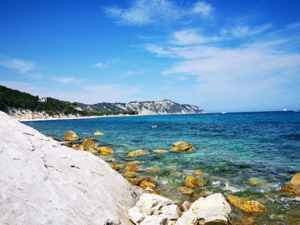
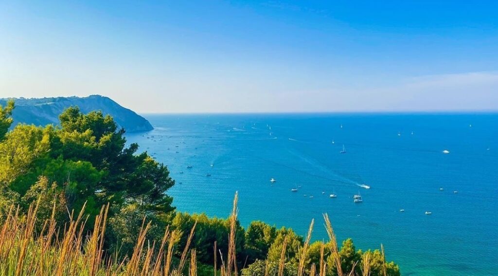
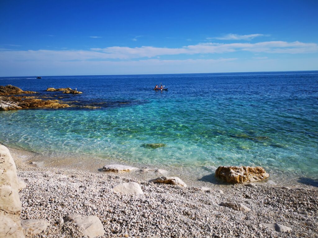
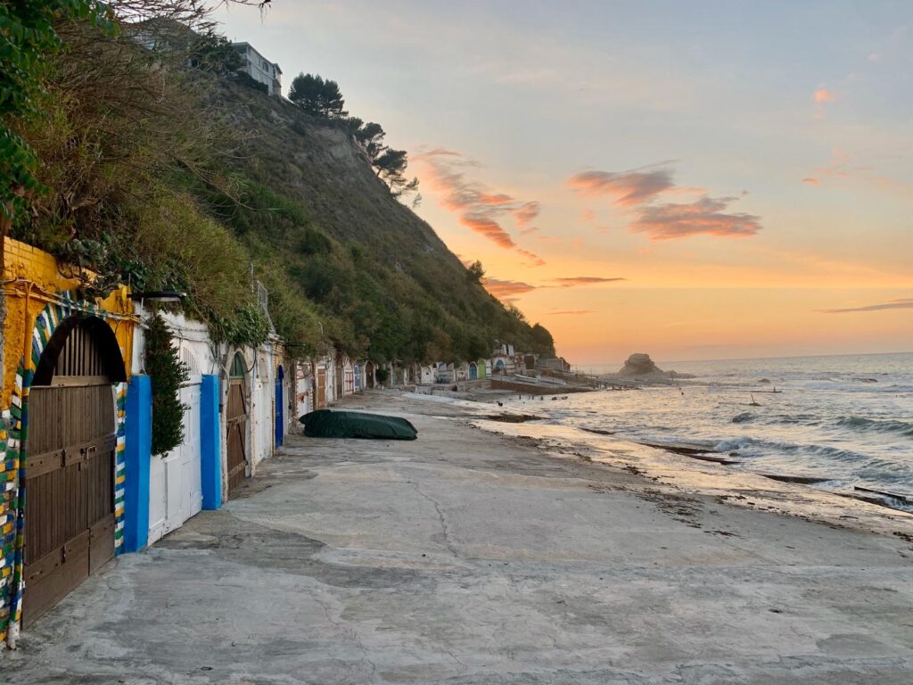
    The Conero peninsula is on the coast in the south east of Ancona, in Le Marche region of Italy, and consists of a rocky coast and a number of fantastic small beaches on the Adriatic Sea, set around the Natural Park of Mount Conero. The closest airport is Ancona, around 30minutes away. The best way to explore this area is by car, it will give you the chance to explore every corner of the peninsula. There are several popular beach towns on the Conero Riviera, the most popular ones are Portonovo (fantastic beach and seafood restaurants), Sirolo, Numana, and Marcelli (with a very long beach that stretches over several kilometres). Sirolo also has a medieval borgo standing on a hill, with a beautiful panoramic view of the coast.A popular way to explore and enjoy the coast around Monte Conero is by following the coastal road by car, with many highlights and scenic viewpoints. Boat trip also is one of the most popular ways to discover and see the Riviera from a different perspective, there are several rental boat companies in the area or the hotel can arrange it for you as well. You can also rent a kayak from any beach, and weather permitting explore the smaller beaches that are not accessible by foot.
    Exploring the Conero Riviera

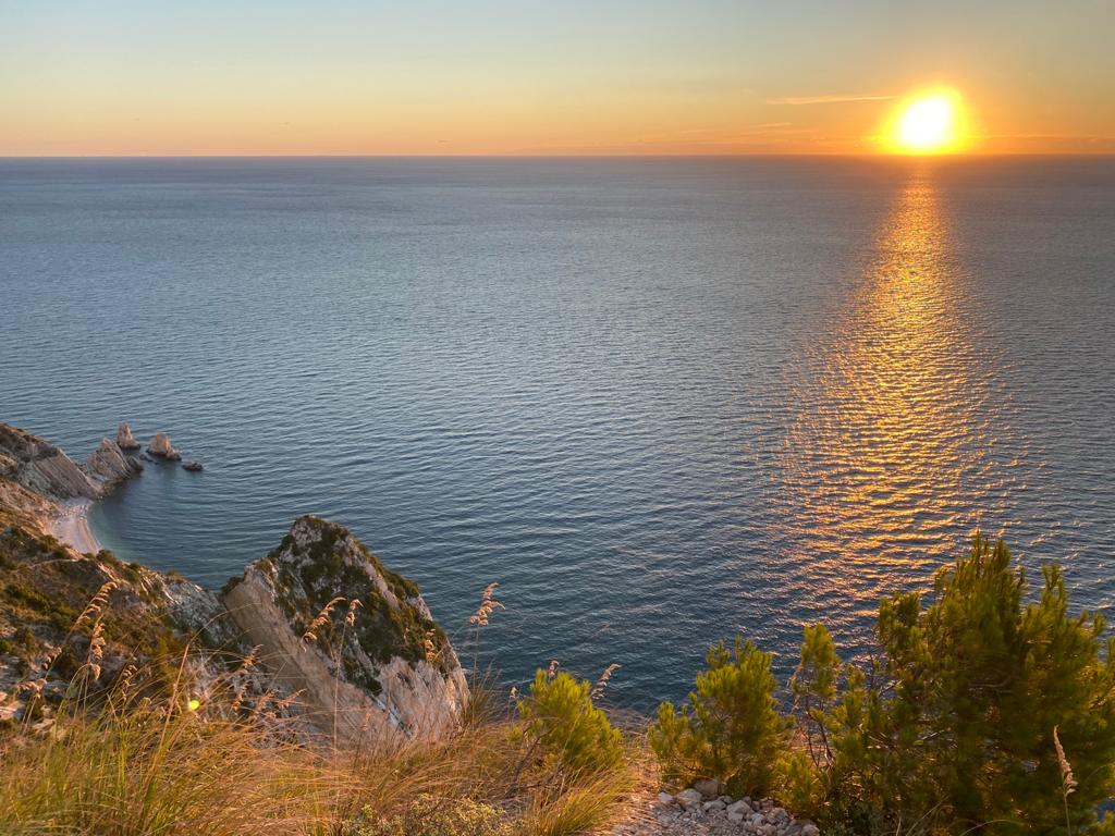
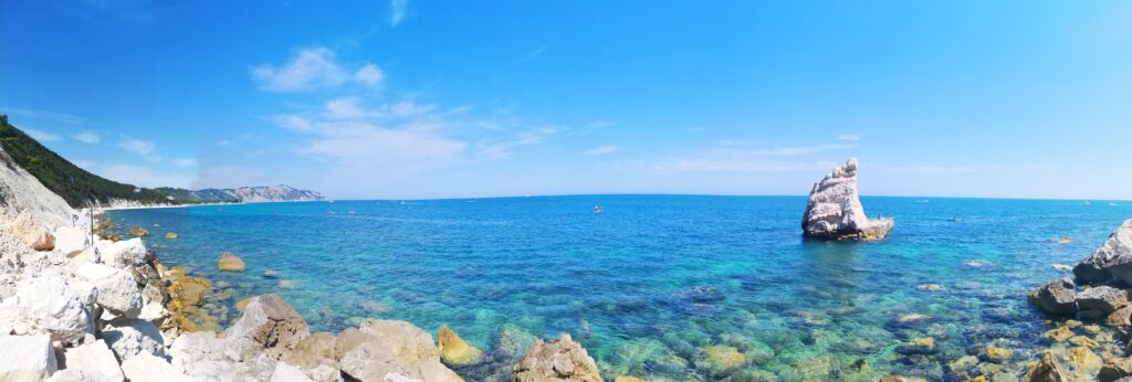
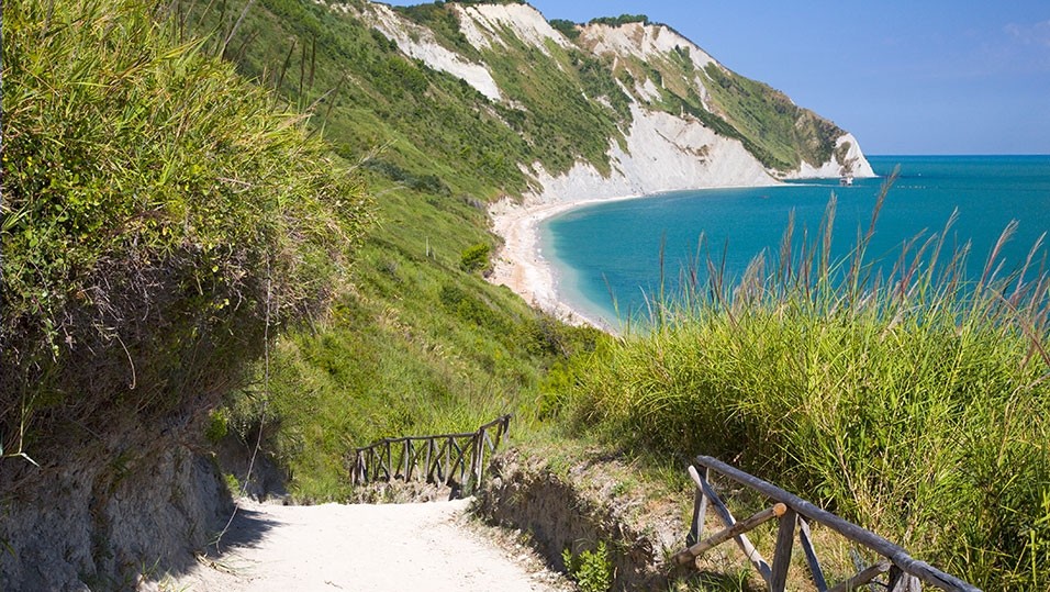
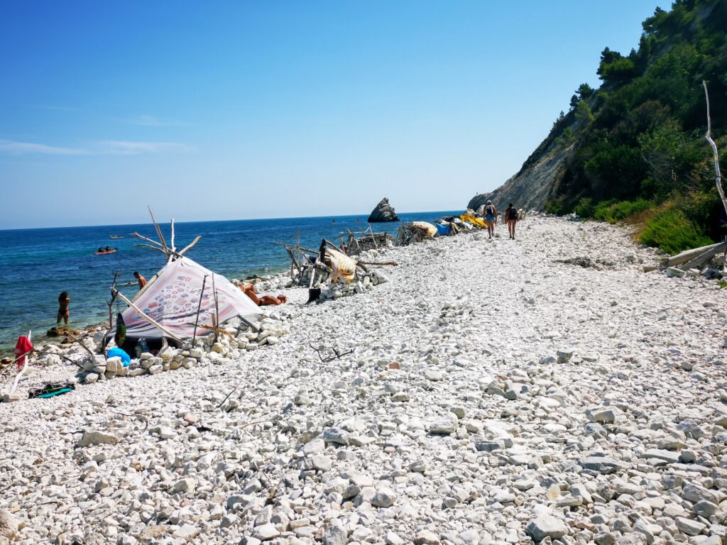
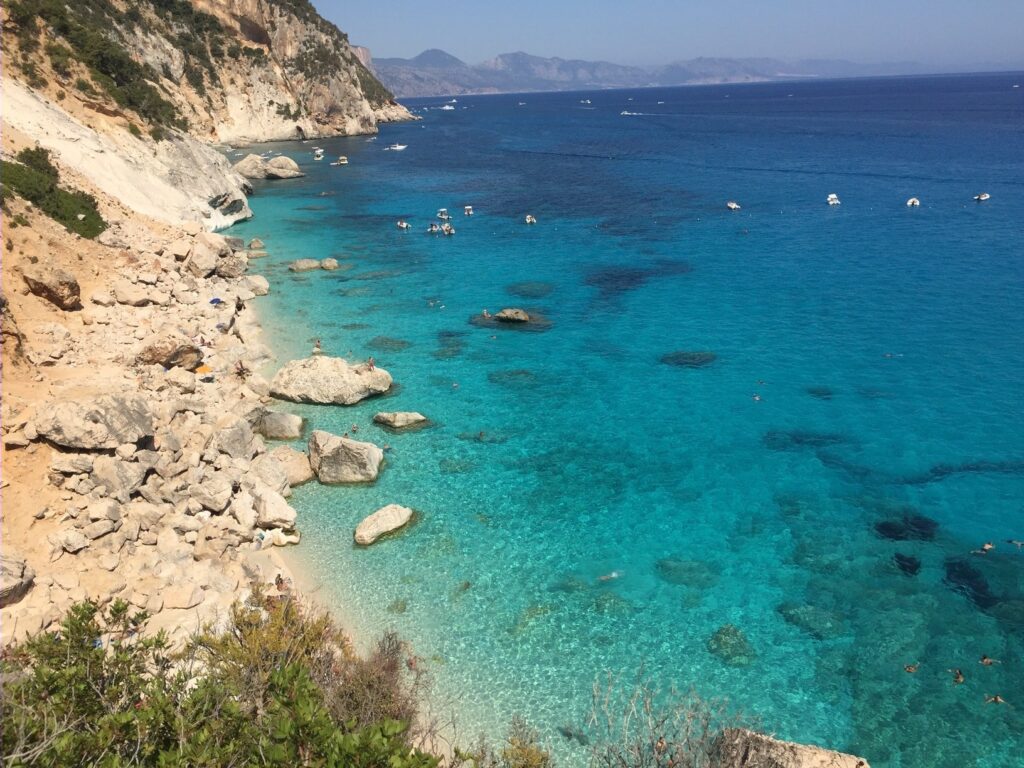
    There are several scenic hiking trails in this park, and all of them have beautiful views from the forest to the coast. The most popular one is “Passo del Lupo” (you can leave the car in the Bar Belvedere and start walking from there, on your way back, you can stop for a snack or dinner in this Bar, the view of the bay is simply stunning). At the end of this path you will enjoy spectacular views of the famous “Due Sorelle”, the 2 rocks that have become the symbol of the Conero Riviera and it can be visited only by boat or kayak.Sirolo’s main beach is San Michele, it’s reachable through a 15-minute walk from the town center. Next to it is the Spiaggia dei Sassi Neri, and Spiaggia Urbani, all three of them are really beautiful beaches.The most beautiful in my opinion and more hard to reach, as the path to go down the beach is quite hard, is Mezzavalle beach, the deep path starts from the main road.The scenery along this part of the coastline is different from the landscapes that you will find elsewhere in this region, with steep white cliffs descending into the sea, rocks and beautiful coves, it’s the most interesting stretch of the Adriatic coast in Italy until the region of Puglia.

    Scoglio della vela – Portonovo

    Scoglio della Vela, Portonovo

    Mezzavalle beach Path, Portonovo

    Monte Conero view

    Grotta Azzurra, Ancona

    Passetto beach, Ancona

    Seggiola del Papa, Ancona

    Tailor-made

    Want this trip, made for you?

    I’ll design your trip to Le Marche — the route, the right hotels and the experiences that matter, around your dates.

    Written by Graziano
    Travel designer & photographer

    Photo gallery

    Monte Conero Natural Park through my lens